
19 Day Colorado Trail Thru-Hike: A Hike Your Own Hike Trip
June 29–July 17 • 450 miles
The Plan
This hike started with a couple of queries to an AI chatbot. I gave it data from previous hikes and asked for an appropriate itinerary for the Colorado Trail, including the best times to start based on weather, fires, and expected water availability during a low-snow year. It gave me tables of distances, elevations, campsites, and suggested start dates.
It was all entirely wrong.
Fortunately, I didn’t just head off on the flimsy word of AI, there was a great deal more planning using FarOut, other hike reports and even a set of actual paper National Geographic maps. I did, however, post the hike to DCUL as a rough outline of what I was thinking about doing: a fast-paced push from Denver to Durango on the CT, completing it in 19 days. The usual pace is 30–35 days, while the self-supported FKT is around 10 days, so it was reasonably difficult but not superhuman. To my surprise, I got a few qualified takers, but everyone had different goals and plans, so it became more of a loose coalition of DCUL hikers.
On this trip, in addition to myself, there was David U. (baseball), who planned to hike the whole trail but give himself a few more days; Alyssa, who wanted to hike maybe half of the trail; and Beth (the “girl with the big backpack”), who wanted to start later and hike as much as she could fit in around work and other commitments.
Denver to Breckenridge
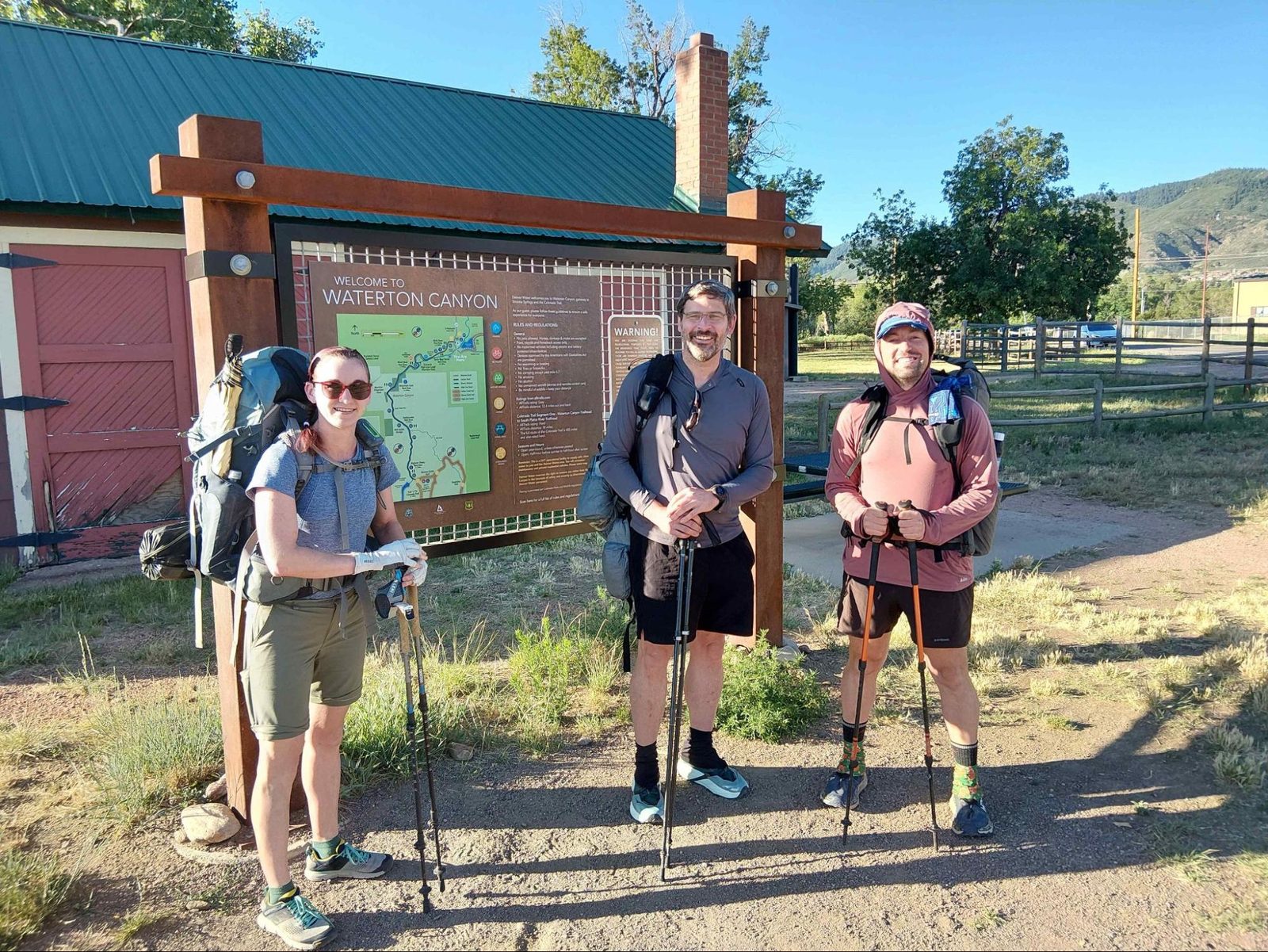
Three of us met at the Denver airport and made it to the trailhead the next day after staying the night at a family member’s house. The first part of the trail heading out of Denver goes through Waterton Canyon, where we saw baby bighorn sheep, and then started climbing through some pretty hot and dry landscapes.
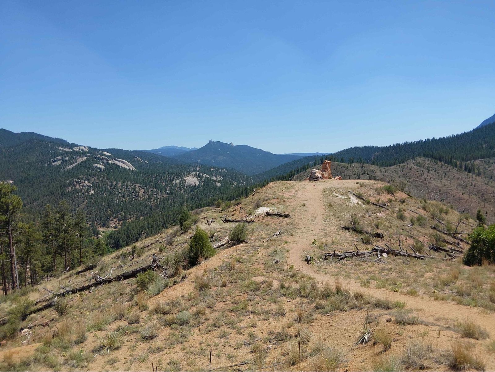
We hiked the canyon together and then separated and went at our own paces. Sadly, that was the last time I got to hike with David—but not the last time I would see him on trail. By the end of the first day, I had hiked 28 miles, averaging 3.1 mph with 5,000 feet of climbing. David finished at 20 miles and, from then on, never caught back up because the altitude had a bigger impact on him.
David and I had flown in from low-altitude states with no acclimation, while Alyssa had at least a week in the area acclimating to the altitude and was also taking Diamox. Having done the High Sierras the previous year with no acclimation, I had a reasonable idea of what my body could handle, so I was fairly confident I’d be okay. David didn’t fare as well and had to slow down and reduce his mileage.

Toward the end of the first day, we stopped at a fire station that provides water for CT hikers and got more information about a problem we already knew we would have to deal with: the Willow Fire. The two sections of the CT near Leadville had been closed on the very day we started our hike, with no reroute options through those sections. The firefighters told us it was a significant fire and would not be reopening anytime soon. So, before we had even finished our first day, we already knew the original plan would have to change.
As we climbed higher on the second day, we moved into higher-elevation terrain with more pine trees and grass meadows. Alyssa and I finished the second day with around 28 miles again. I averaged 3.2 mph, and Alyssa got into camp before dark.
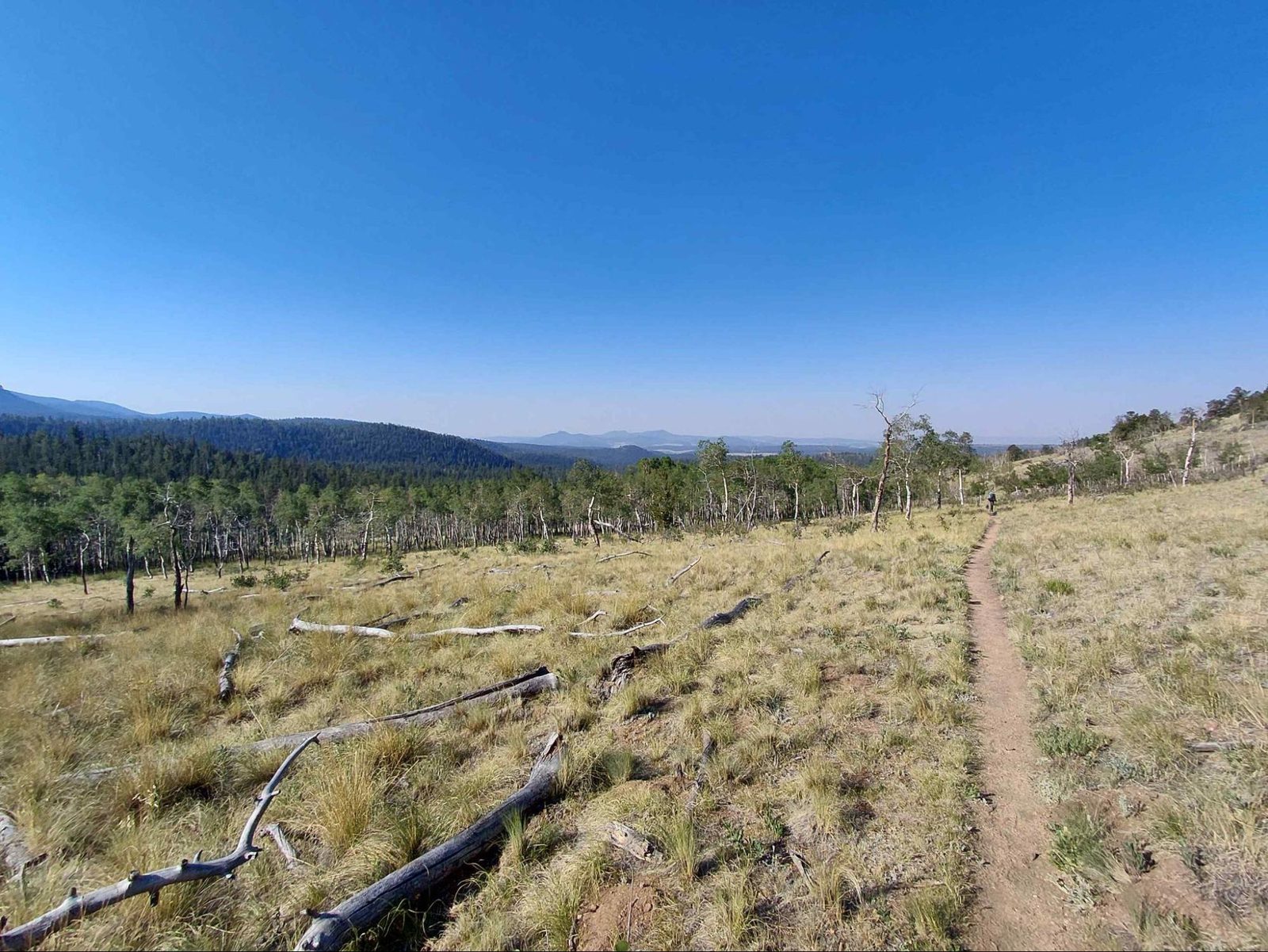

Along the way into the third day, there was a group doing trail magic for CT hikers. They had a tent set up with chairs, food, water, and charging stations. I stopped briefly and chatted with these kind people, but there was more hiking to do that day, so I didn’t linger too long.
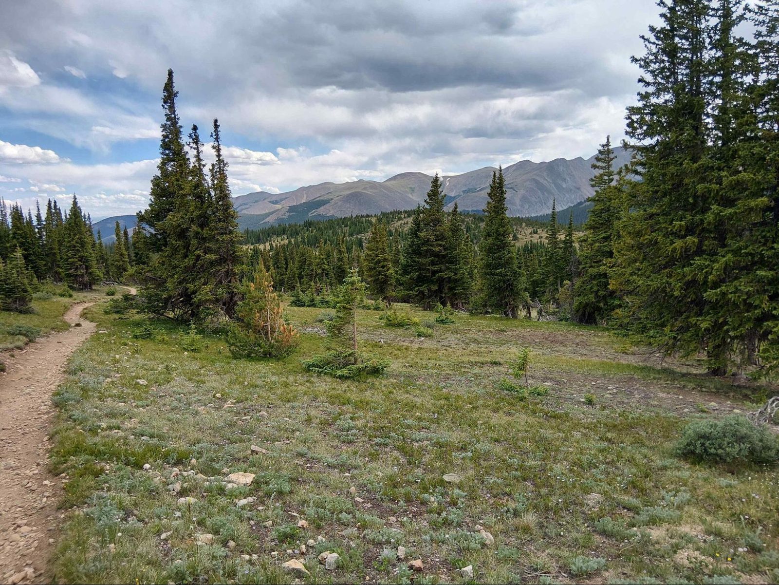
At the end of day three, I had done 34 miles. At a fast pace, at high elevation, with roughly 5,000 feet of climbing and descending, that is a hard day even when everything goes according to plan. What surprised me was how difficult the last five miles were. They were almost entirely downhill, but the descent was steeper than I expected, and after everything that had come before it took considerably more effort than I thought it would. I came into camp near dark and was ready to take pretty much any flat spot I could find.
Alyssa had gotten waylaid by bad directions to a water source and an aggressive Doberman that got off leash and almost attacked her at the Kenosha Pass campground. That cost her about two hours, so she finished around 26 miles for the day.
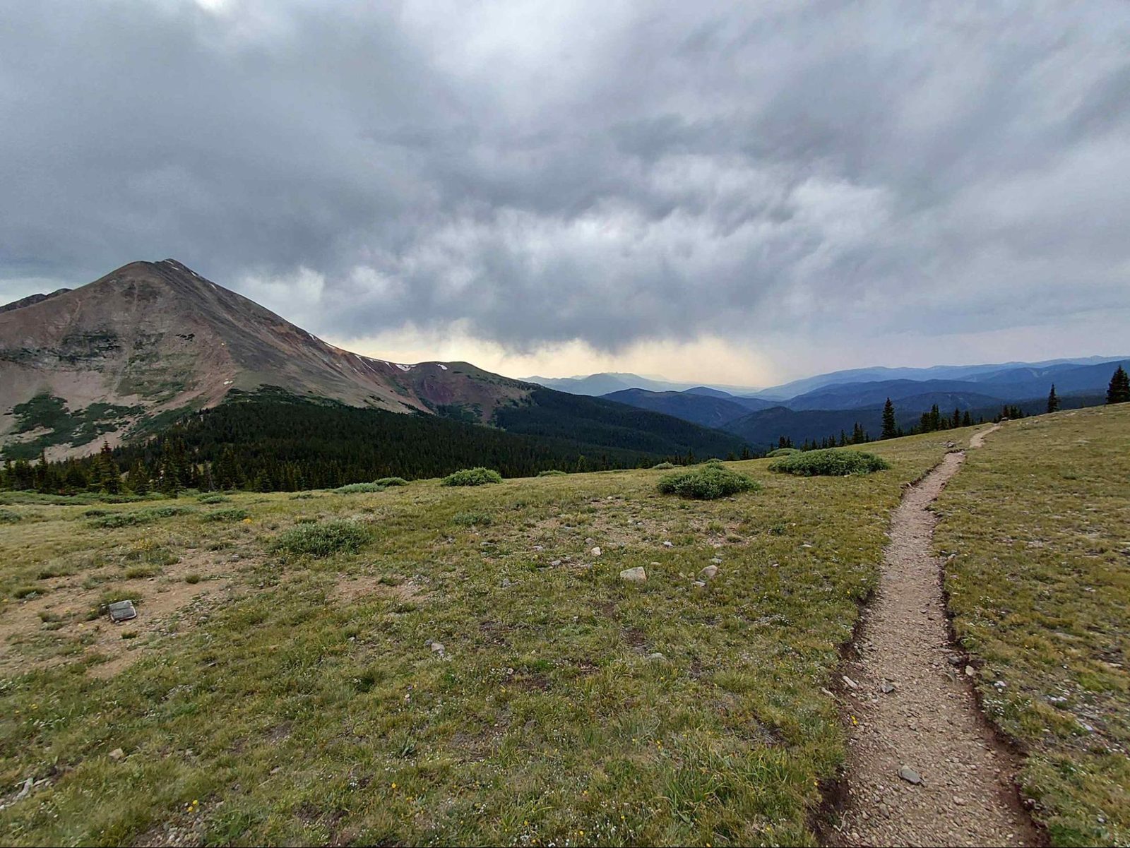
Once I finished my miles for the day, I was near a creek crossing where the mosquitoes were particularly bad. I set up my tent and was eating dinner inside when two moose came over a ridge toward my tent. Looking up at two large moose while sitting in a tent was, let’s say, unusual. I yelled out to them, and once they knew I was there, they bolted off in a—fortunately—different direction.
You could see Breckenridge in the very hazy, smoke-filled valley below. I only had 15 miles to go that day, so it was essentially a half day.
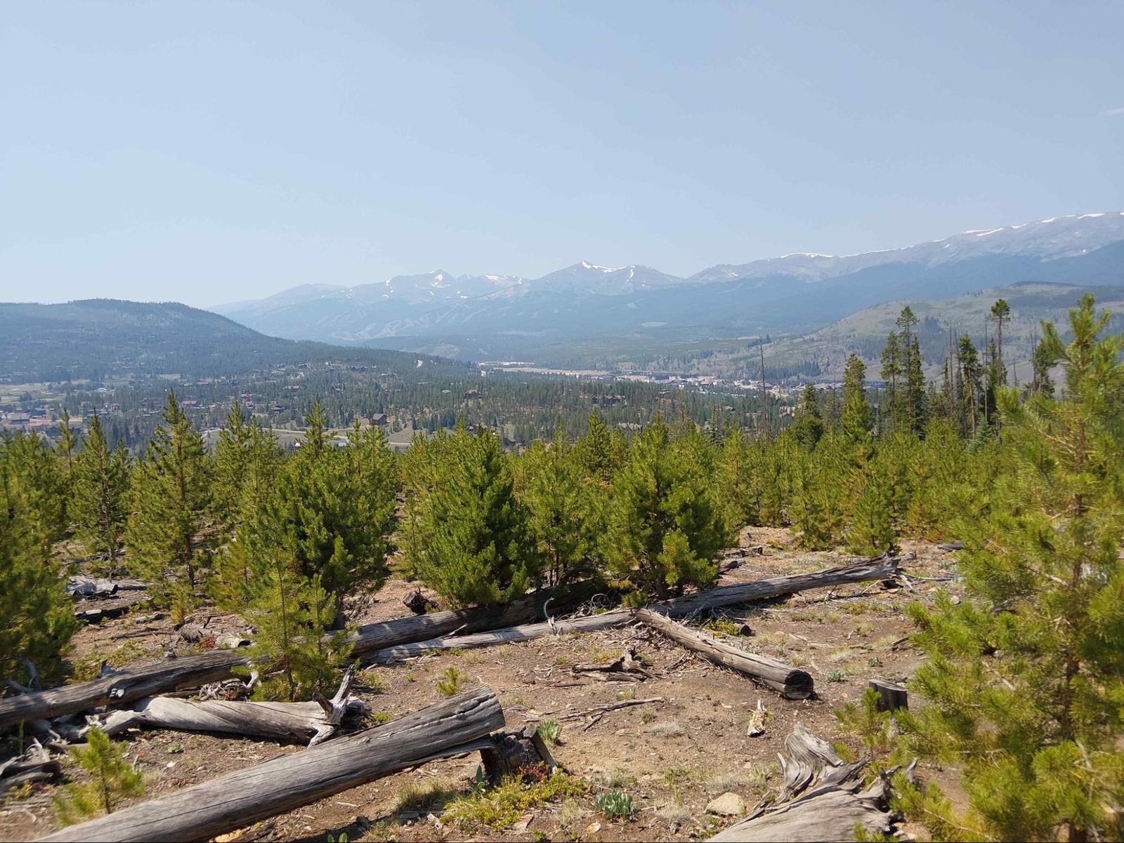
That half day allowed me to resupply, check into our hotel, figure out a reroute, and organize a shuttle for our new plan. Alyssa had dropped off her resupply at the hotel a few days earlier, so I picked up her resupply and dinner for her so she could arrive later and get some rest before our early shuttle the next day.
Alyssa asked other backpackers on her way into Breckenridge how long it had taken them to get there and got a “Holy freaking Christmas tree!” from one hiker when she told them she’d done it in four days. So, we had a good pace going.
David was still back there, and we were checking on his progress, but he wasn’t going to make it into Breckenridge for our shuttle plan. His plan was to take a day or two to rest, then take the bus up to Leadville and Twin Lakes and get to the other side of the fire.
The Reroute: Collegiate East and Twin Lakes
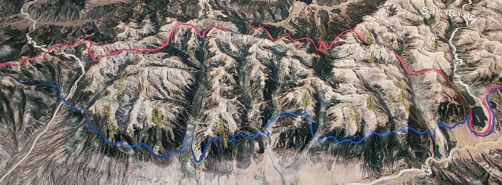
This picture shows Collegiate East (blue) and Collegiate West (red) separating and reuniting.
Alyssa and I took a shuttle down to the southernmost part of Collegiate East and started hiking north toward Twin Lakes. This plan allowed us to “make up” the miles that were closed by adding the section of trail we weren’t initially planning to hike.


Collegiate East is the lower-altitude option—not quite as scenic, but there were some great climbs and views. The smoke we were hoping to avoid didn’t work out for us because of the many other fires going on in Colorado. We still had days when the smoke irritated our lungs and made it hard to see the valleys below or the mountains around us.
At the end of the first day on this section, Alyssa stopped a few miles before me, but I wanted to push on to the Mt. Princeton Hot Springs general store to see if I could resupply Leukotape. I couldn’t. Alyssa was starting to get tendonitis at that point and decided to be done with her hike. She hitched up to Twin Lakes, where I saw her again after coming off the Collegiate East section.


This is the point where I did something stupid. At Twin Lakes, I walked for a bit on the beach in an effort to see how low the water was between the lakes—spoiler: not low enough to cross—and I strained some tendons in my shin. I immediately knew this was a problem, so I picked up some extra KT Tape at the Twin Lakes general store.


I then had to go over Hope Pass, where I grabbed some snow from the pass to ice my shin. After Hope Pass I camped, and a marmot stole my gaiters in the middle of the night for the salt! After an hour or so of fruitless searching for my gaiters I proceeded to descend and then climb back up to go over Lake Ann Pass.


At Lake Ann Pass, the marmots were so interested in the salt that they immediately went for my trekking-pole handles and tried to lick the salt off my shoes while I was still wearing them. Clearly, they’ve met a few hikers.
I made it about halfway through Collegiate West when I got to Cottonwood Pass, where there was a parking lot and road crossing. At that point, I decided I needed more medical supplies and needed to reassess the shin issue, so I hitched into Buena Vista. The cheapest dive motel was over $200 a night, so I took the free bus into Salida, which is a larger town and where the hotels were half the price. I eventually found the supplies I needed and arranged transportation back to the trail, which took up most of the day. This put me back on the trail at Monarch Pass the next day. Unfortunately, that meant missing the best parts of Collegiate West, but it allowed me to continue with the shin tendonitis, which by then was very painful.
At that point, I made a calculated decision to keep moving. It hurt, but I had assessed that continuing was unlikely to cause permanent damage, so I treated it as a kind of active recovery and kept going. That strategy actually worked. It wasn’t comfortable, but it was a problem I could manage rather than one that forced me off the trail.
Finding a Trail Bubble
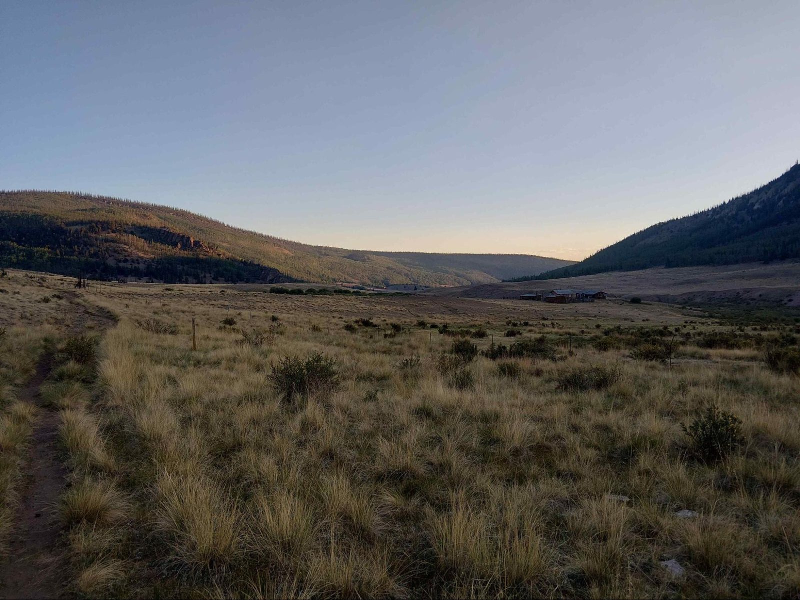

If you’re following along with the multiple narratives, you’ll remember that David got behind going into Breckenridge. He then took a couple of days off and started back at Twin Lakes. At that point, he was ahead of me heading south on Collegiate West while I was coming north on Collegiate East. I estimated he was about half a day ahead.

I was planning to catch up to him on Collegiate West, but my detour put me back on Collegiate West about an hour and a half ahead of him at Monarch Pass. I decided I would just head south, and he could catch up to me after getting his resupply at Monarch Pass.
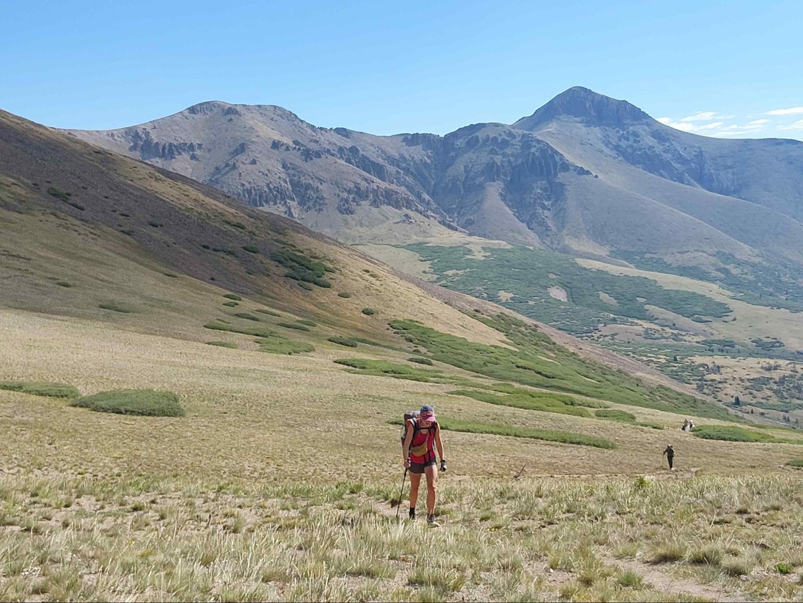
After heading south from Monarch Pass, I was passed by a hiker I wasn’t sure was peak-bagging or just out for a day hike. It turned out to be a SOBO CT hiker with a sub-8-pound pack named Pinup. I stopped for a few pictures, and Captain Planet, who was hiking with him, caught up to me.

Pinup had a crazy-light setup, but liked to do a rabbit-and-hare sort of day: go fast, then take naps, and ultimately end up doing around 20-mile days. Captain Planet was faster than me with my current shin issues, but not so much that the three of us couldn’t hike together for a while. Since we were all 6 a.m. starters, we began more or less at the same time, saw each other throughout the day at water stops and along the trail, and then camped together. It was a nice example of finding the right people at the right time and having our capabilities line up.

Eventually we got to San Luis Pass, where there is an option to climb a 14er. I’m not a peak bagger and had no interest in the extra summit, so I continued toward Lake City.

Captain Planet and Pinup bagged the peak and then camped with the large group of hikers who were amassing on the way toward Lake City for the big hiker meal the Trail Center was putting on Sunday.

Because I had the extra hours of hiking, I was able to push on and finish 27 miles for the day, crossing Snow Mesa and descending to the Spring Creek Pass trailhead. You can see the fires in the photo below from one of the many areas burning in Colorado at that time.

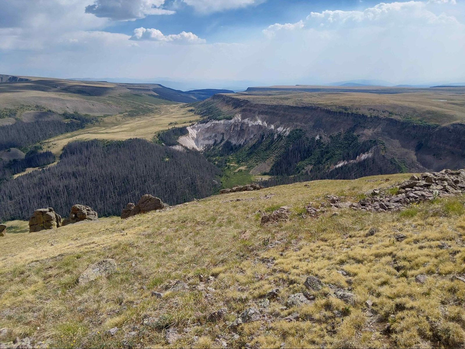
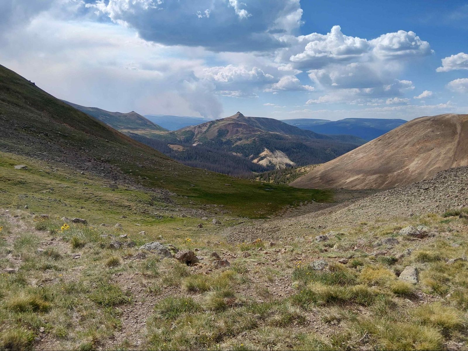

Snow Mesa is an expansive open mesa, and the descent from it reminded me of a fantasy movie set where I expected archers, trolls, or elves to be somewhere along the rocky drop to the pass.
Lake City
Once I got to the trailhead, I found a couple trying to hitch into Lake City. They had been trying for about 30 minutes, and there were very few cars on the road. Shortly after I arrived, a car pulled up coming from Lake City and offered to turn around and drive us the 30 minutes back. I’ve never had that happen before. It reminded me just how remarkable the kindness people can show toward strangers can be.
I took my first actual zero—not long after the nero I took in Salida—and had a great time. The bubble of hikers from the day before eventually made it into town. I got to know the hikers who had headed out ahead of me and whom I expected to catch up with later, and the town had everything a hiker could want.
The place I stayed had loaner bikes to get around. There was a hiker center that puts on meals once a week; this was the first one of the year. The Lake City hiker dinner is put on by the community, with local residents bringing dishes to share and then spending time meeting the hikers and hearing about their trips. They were both generous and genuinely interested in what people were doing, which made the dinner feel much more like being welcomed into the community than simply being fed. The town also had loaner clothes, laundry help, hiker boxes, charging stations—pretty much anything you could hope for.
Into the San Juans
Many of the people in the bubble who had just arrived, including Pinup and Captain Planet, were planning to take a day and enjoy Lake City. I had already had a day to do that, so I moved on, hoping to see everyone farther down the trail.

I started early the next day and, after about 1.5 hours of trying, was able to get a lift back up to Spring Creek Pass and onto the trail. There I found David! David had made it to Spring Creek Pass the night before but was unable to get a ride down into Lake City.
After trying for a while with no cars coming through, he gave up and cowboy-camped at the trailhead. When I got dropped off in the morning, he was hanging out in his sleeping bag waiting for the shuttle that takes hikers into Lake City.
We were able to briefly catch up and wish each other well. His plan was to take a day or two in Lake City, so he probably wouldn’t make it into Durango by the time my flight left.
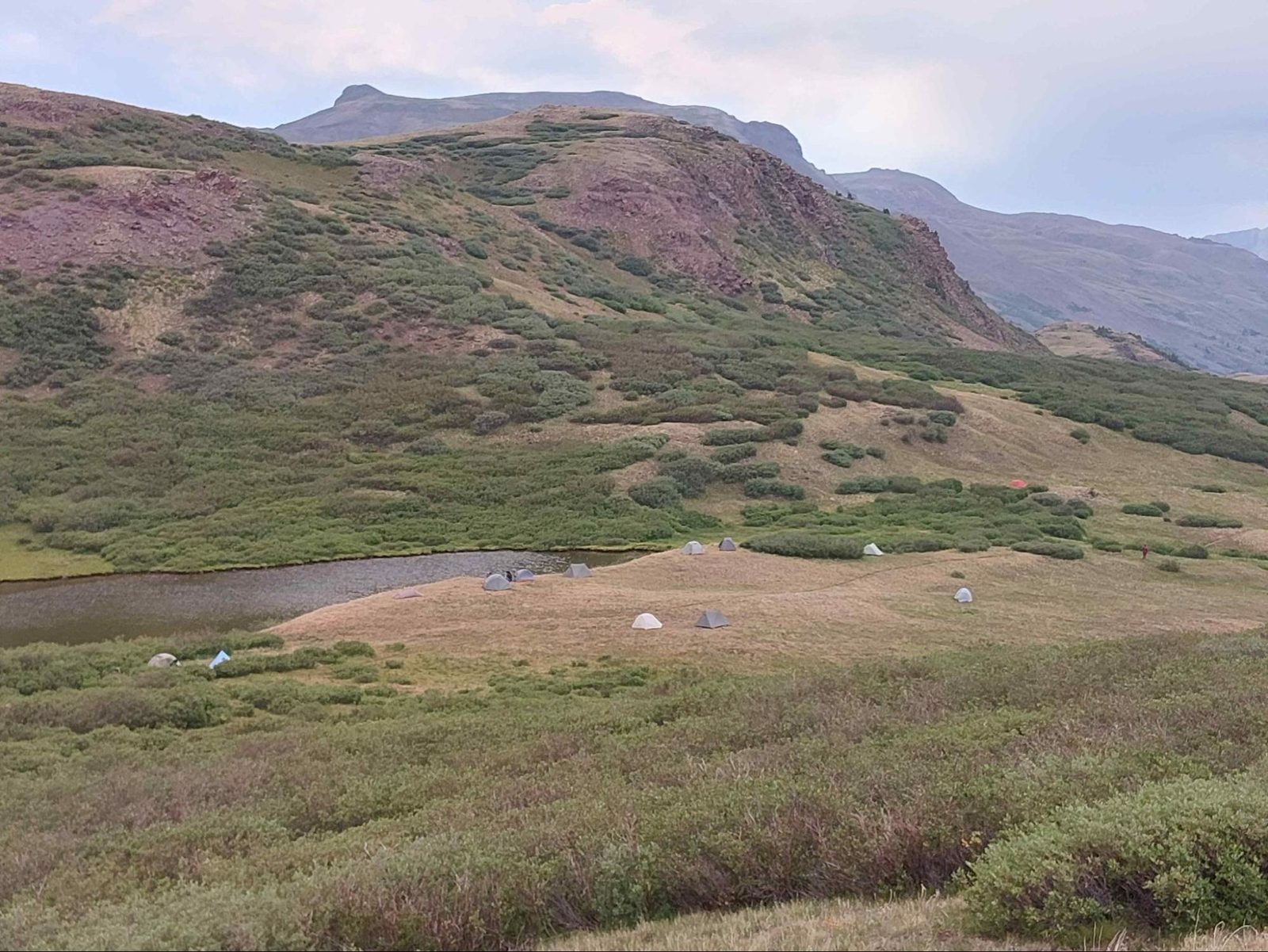
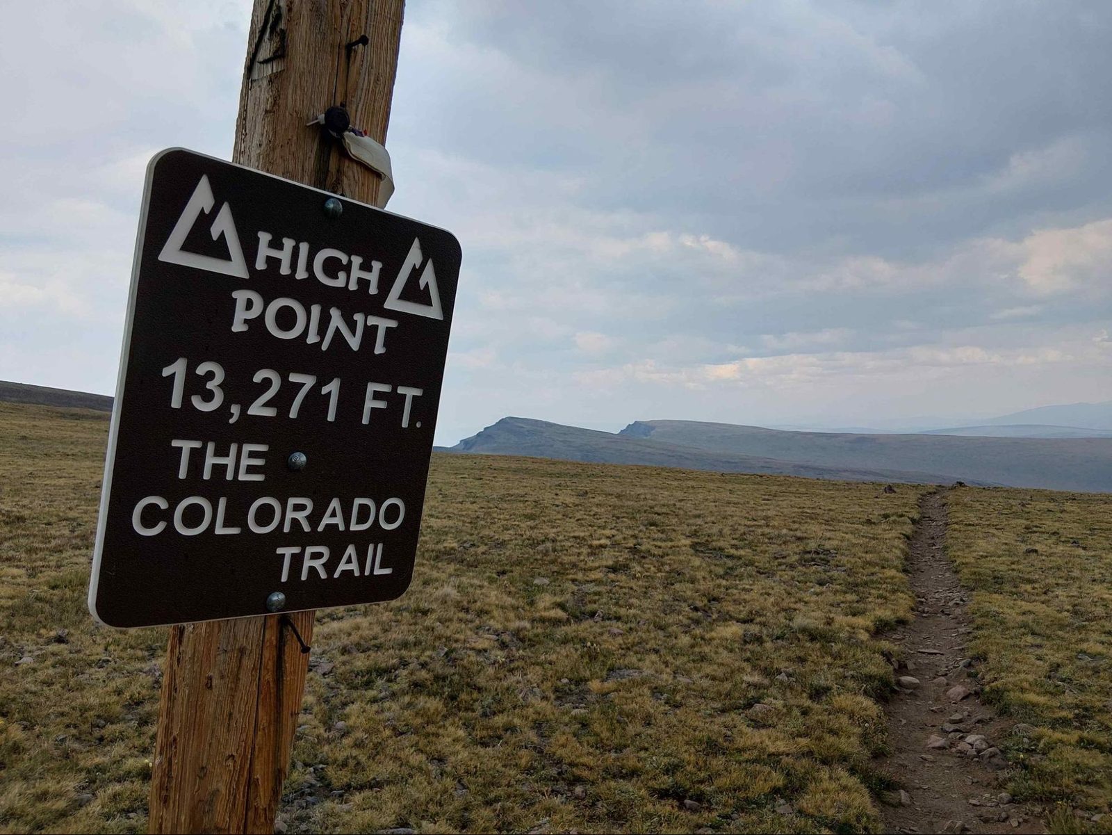
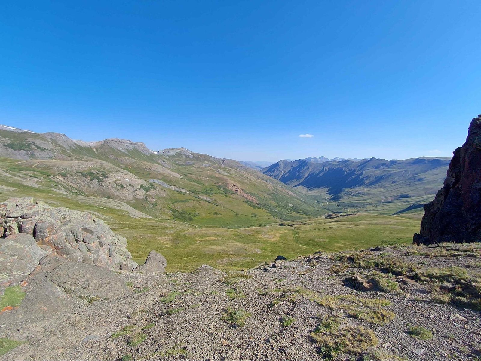
I was able to get over the highest point of the CT and then passed the bubble of people who had left the day before me and had an excellent campsite by Cataract Lake.
Unfortunately, my plan was to get to Molas Campground in two days—approximately 50 miles—before the general store that had my resupply package closed, so I had to go farther.

That night, as I was descending to a saddle, an animal raced across the open landscape toward me. When I stopped, it stopped. When I moved, it moved. It turned out to be a young deer, fortunately, who was either fleeing some howling coyotes in the distance or was simply curious about me. It watched me as I set up my tent and went to bed.

Some hikers I had met in Lake City told me the next day that they had been up on the next pass watching the whole thing unfold like a National Geographic show while they ate dinner.

The next day I continued toward Molas and came across an older couple with the cutest llama pack animals. They said they had been doing multiple multi-week trips every summer for 30 years with their llamas.


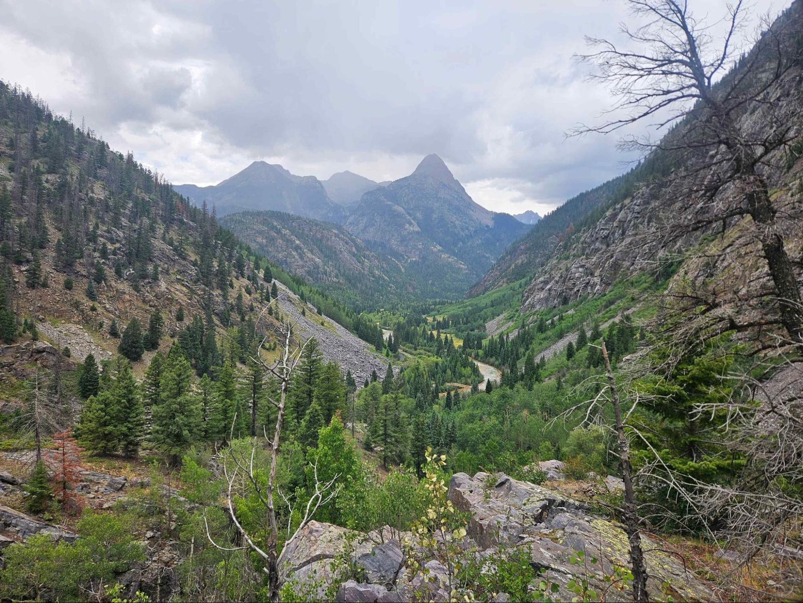
I found a couple of moose while crossing a very small snowfield, and then started descending along Elk Creek Canyon toward the Animas River Gorge.
At Molas Campground, I was planning to meet Beth (the girl with the big backpack), and we were going to hike some together. She had already hiked Spring Creek Pass to Molas and was ready to do some more miles after running into two bears on the Molas ascent!
By this point, the right shin—the one that had started the whole problem—was already feeling better. Unfortunately, the left shin was starting to become inflamed. I had been adjusting my gait to compensate for the right side, Beth was fresh after restarting her hike and I was trying to keep up with her, and I was carrying the extra weight from my resupply. All three added up, and the left shin got progressively worse as we headed toward Durango.
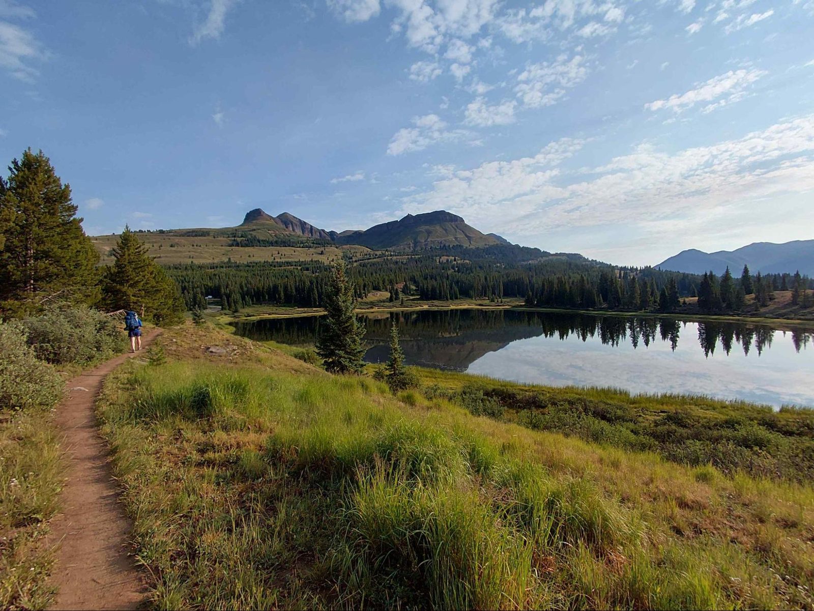



The Final Stretch to Durango
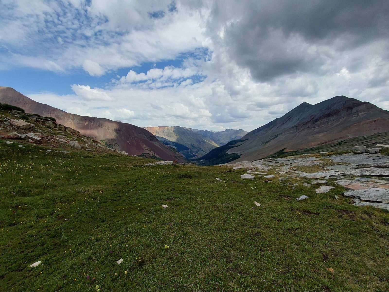
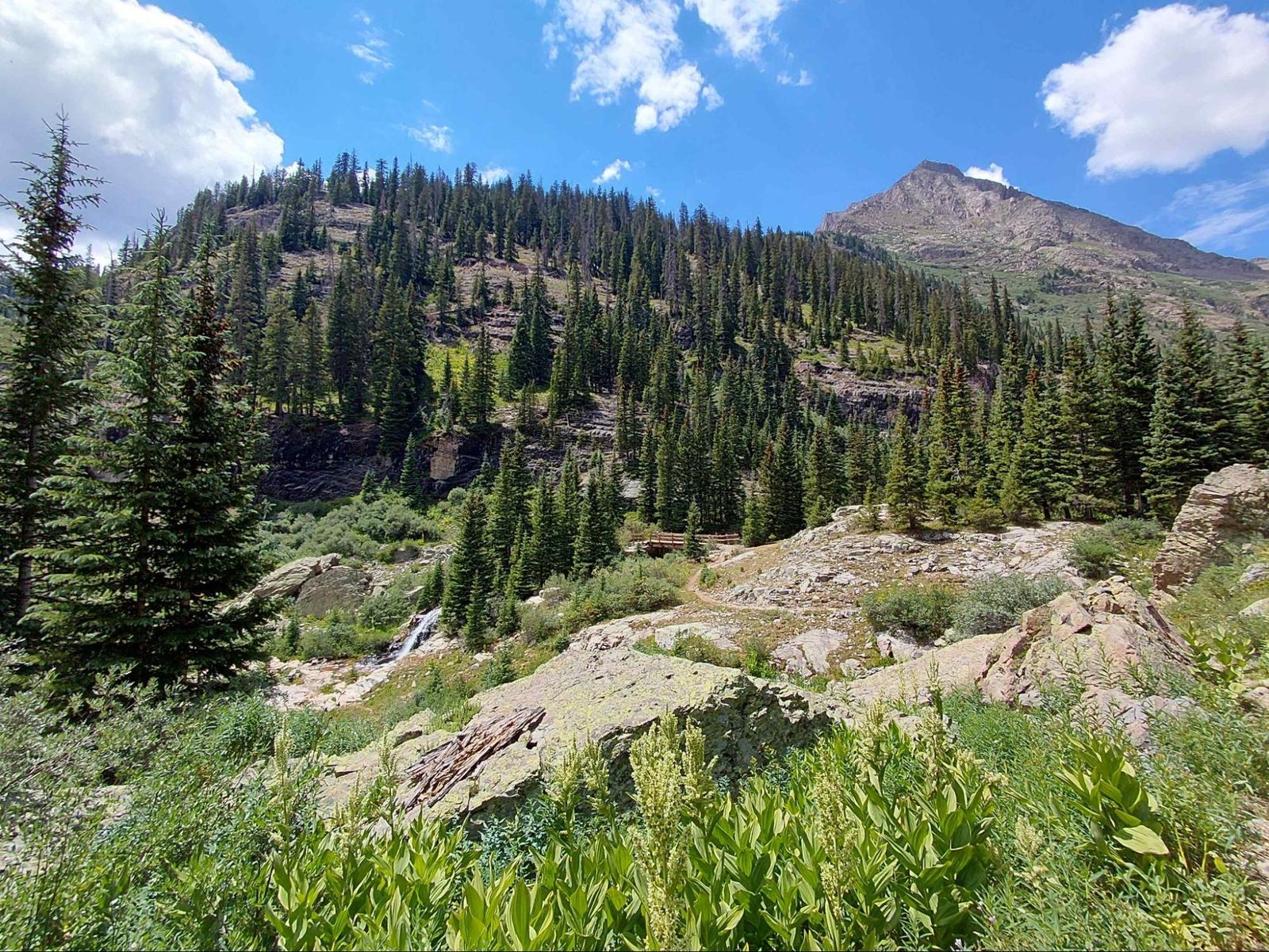
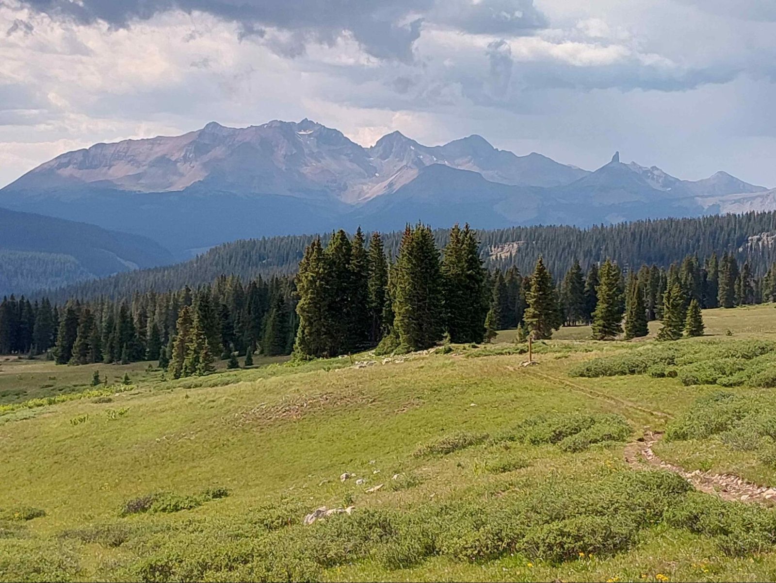
We were now in the final stretch: only 70 miles or so between Molas and Durango through the infamous San Juan Mountains, renowned for sustained high-elevation exposure and midday lightning storms.
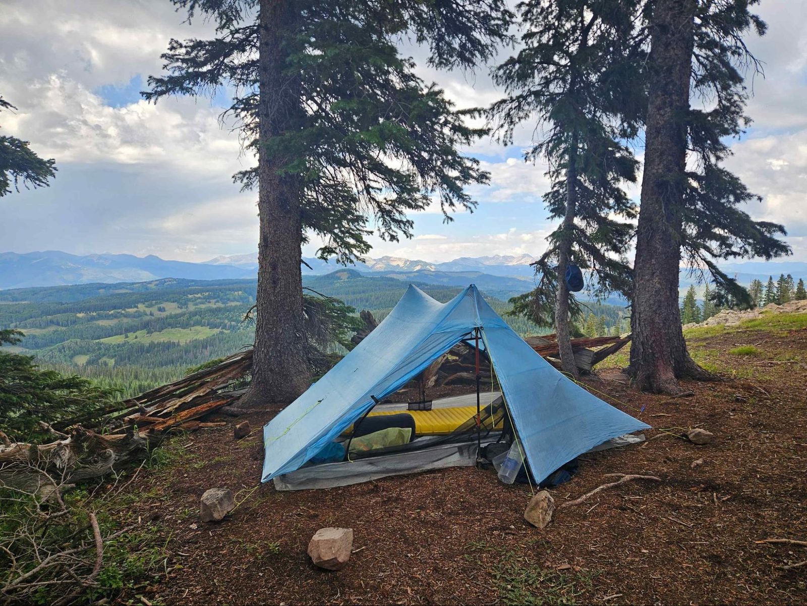
This is David’s setup somewhere along this stretch in the Indian Ridge area.


Beth enjoyed the amazing campsite we found at 12,000 feet. Sadly, before Taylor Lake, Beth got caught out in a storm with her bag open and everything got soaked. She made the best choice and bailed on the remainder of what she had planned to hike.
I had my own experience with the storms a little farther along. I was on Indian Ridge, one of the most exposed sections of the trail, when a storm moved across the ridge. I had to shelter in place under large trees while hail, rain, and lightning came through. Once it passed, I was at high altitude, wet, and getting cold. I set up my tent, changed into dry socks with waterproof socks over them, and put an Alpha layer on under my rain gear so I could keep moving and stay warm.
By the time I had changed, the campsite where I had set up my tent was flooding. At that point the best option was simply to keep moving so I could stay warm. Fortunately, my sleeping kit was still dry, so when I finally stopped for the night I was able to stay warm and sleep despite everything that had happened.

After Taylor Lake there was a section of rocks where you might be able to make out the trail. It was sketchy, with rocks sliding as I maneuvered slowly along it.
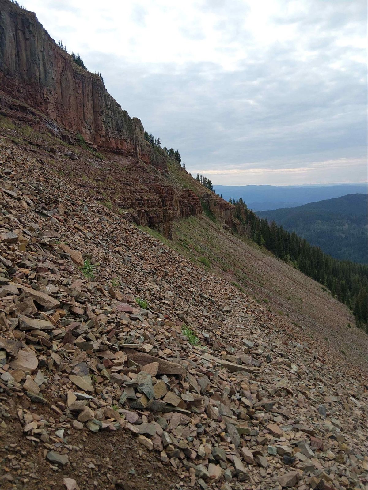
Then the trail dropped into Junction Creek Canyon and into Durango.

By the end, my legs had developed tendonitis in both shins. You can see how swollen and red they were.
The preemptive leukotape taping worked great, and I was at least able to finish the hike without blisters. The shin problems were painful, but the decision to keep moving had, however painfully, worked out. A week after the hike, they were mostly resolved.

Fortunately, at the end there was a squad of cheerleaders to congratulate me on finishing…

Haha, I wish. Trail endings are never that nice. What was nice was that Beth and her friend picked me up from the trailhead, which is still several miles from Durango proper, and we had a great evening celebrating.
Afterwards
David completed the trail several days later and, by all accounts, had an amazing hike. If he were to do it again, though, he would give himself more time for acclimation and cardio training.
For me, the biggest lesson was that a long trail like the Colorado Trail is less about executing the perfect plan and more about adapting when the plan inevitably falls apart. Fires closed the route. Smoke changed the experience. Hiking partners changed plans. A minor detour became a painful shin injury. New friends, new plans and unexpected kindness filled in the gaps.
In the end, it was very much a hike your own hike—just not always the hike anyone thought they were going to take.


thanks for the trip report Brian! I miss it already!
LikeLiked by 1 person
GREAT story about your latest adventure and the pictures. So glad you shared it with us non hikers.
LikeLiked by 1 person