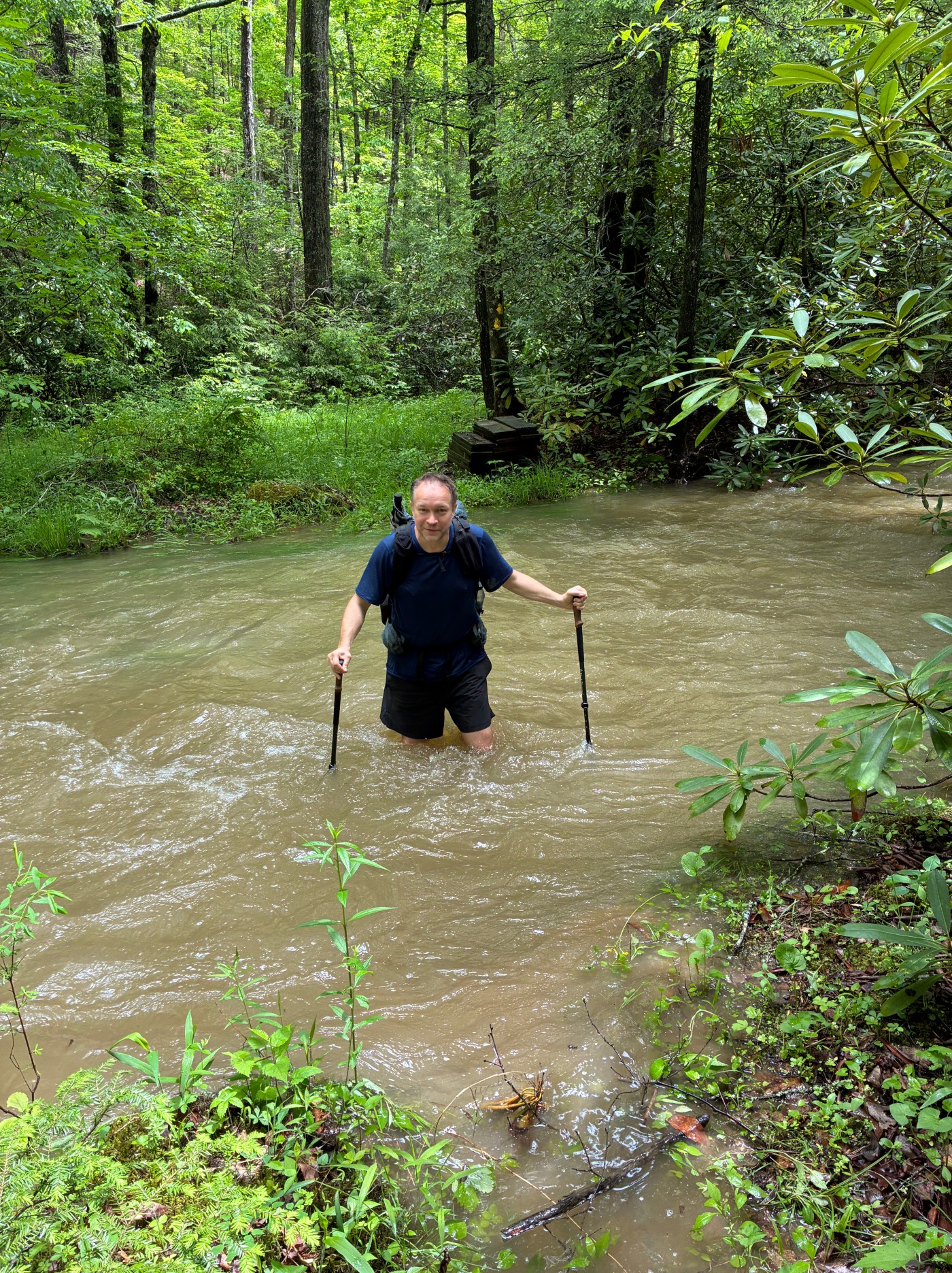
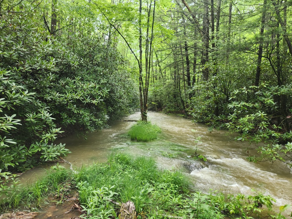
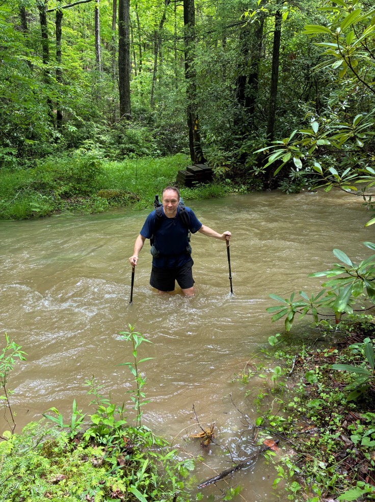
“Where is the trail?” I asked Logan loudly so he could hear me over the din of rushing waterfalls surrounding us. “Do you think it is across the stream?” We had happened upon the banks of a bold stream as we were hiking the Allegheny Trail (“ALT”) in West Virginia. The ALT up to that point had been a remarkably well-blazed trail, so the absence of a blaze was odd. I looked behind me and saw a blaze for northbound hikers. We were definitely on the trail. I crossed the calf-deep stream to look for a blaze there. When I returned Logan was pointing downstream to a yellow blaze on a tree on an island in the middle of the stream. “Oh my gosh!” I exclaimed. “The stream is the trail.” We sloshed forward in a single file down the wet “trail.”
# # #
After an unseasonably brutal heat wave, the weather on the east coast took a turn just in time for Memorial Day Weekend. While backpackers love lower summer temperatures, few of us love days of rain in exchange. One forecaster predicted an “atmospheric river” event for the entire extended holiday weekend. When I first heard the term, I dropped my head and sighed.
Am I the only one to notice the sudden creativity of meteorologists? For so long they described weather as “sunny,” “partly cloudy,” or “rainy.” When really excited, they’d break out the word “thunderstorms,” or even “tornado watches.” However, these days, there are “bomb cyclones,” “derechos,” “polar vortexes,” “super El Nino,” “heat domes,” and “self-destructing sunshine.” It is as if all the weather people all took creative writing classes during their COVID quarantining years.
As I marveled over the “atmospheric river” forecast that promised Biblical rain all weekend, Meetup popped up a notification on my phone. A larger DC UL crew planned to backpack the Allegheny Front Trail in Pennsylvania the same weekend, but they cancelled due to flooding concerns. I reached out to my friends who signed on as co-participants on this ALT trip—Logan and Wesal (“WB”). After we independently checked the weather forecasts for the eastern mountains of West Virginia we concluded it would be wet, but acceptable. We met at the Vienna Metro on Friday at 3:00 p.m. as planned to set up our shuttle.
We planned to hike the ALT 75 miles from Durbin to Lake Sherwood. The ALT is a 300+ mile trail that bisects West Virginia north to south. The trail makers divide the trail into 4 sections. Our trip would have us complete all of Section 3 and some of Section 2. We’d hike south from Durbin through the towns of Cass and Marlinton, to Lake Sherwood. We knew this would be an ambitious itinerary even without excessive rain. We’d have only 3 full days to hike, and the elevation chart indicated it would be a lot of climbing. So, this would be one of the “Veteran Member Only” DC UL trips that form the basis for the extreme side of our club’s reputation.
# # #
People who build expert-level mountain bicycle trails often set up “squirrel catchers” at the trail heads. These are intimidating features designed to scare away the cream puffs. An intermediate-level biker will look at the extreme nature of the trail, conclude it is above their capabilities before even starting, and seek out a more suitable trail. For our backpacking trek to the ALT, Mother Nature set up her own “squirrel catcher”—at the Sheetz in Harrisonburg on our drive over to West Virginia. The rain was as bad as it could get. Imagine someone pouring a bottomless bucket of water over your head. That is how hard the rain was falling. The short 6-foot walk from our car to the front door left us very wet. However, it did not deter us even though I saw Logan’s eyes linger at the refrigerated beer cave in the store.
After arriving in West Virginia and setting up the shuttle by leaving my car at a trail head two miles from Lake Sherwood, we made camp at East Fork Campground in Durbin just as it was getting dark. Happily, it was not then-raining. Once in our tents it started raining. I slept well most of the night. I did wake up a couple times to the sound of the rain. As I habitually do in such conditions, I would feel around the floor of my tent, the sides, and the top of my sleeping quilt to check for water intrusion. The walls were wet with condensation, but everything else was dry. My tent is a Durston made of Dyneema fabric, which pitches very taut. The rain falling on it reverberated like a drum. I put in my ear plugs, but it remained loud.
It was still raining when I woke Saturday morning. We had agreed to start our hike later than usual to make up for the long drive we took the prior day. So, I enjoyed just lying there and listening to the now-gentle rainfall. Luckily, when it was time to pack up, the rain stopped.
As I was rolling up my tent, WB announced she had a “situation.” Somehow, she made a two-inch gash in her sleeping pad with her elbow. (How can that happen?) We had been camping on a grass field that couldn’t have been more comfortable and free from sharp sticks or rocks. So, it was an odd spot to suffer a puncture. I had some duct tape and WB made a field repair. We would be hiking that day 20 miles to Cass and thought we could find better patches there if the field repair failed.
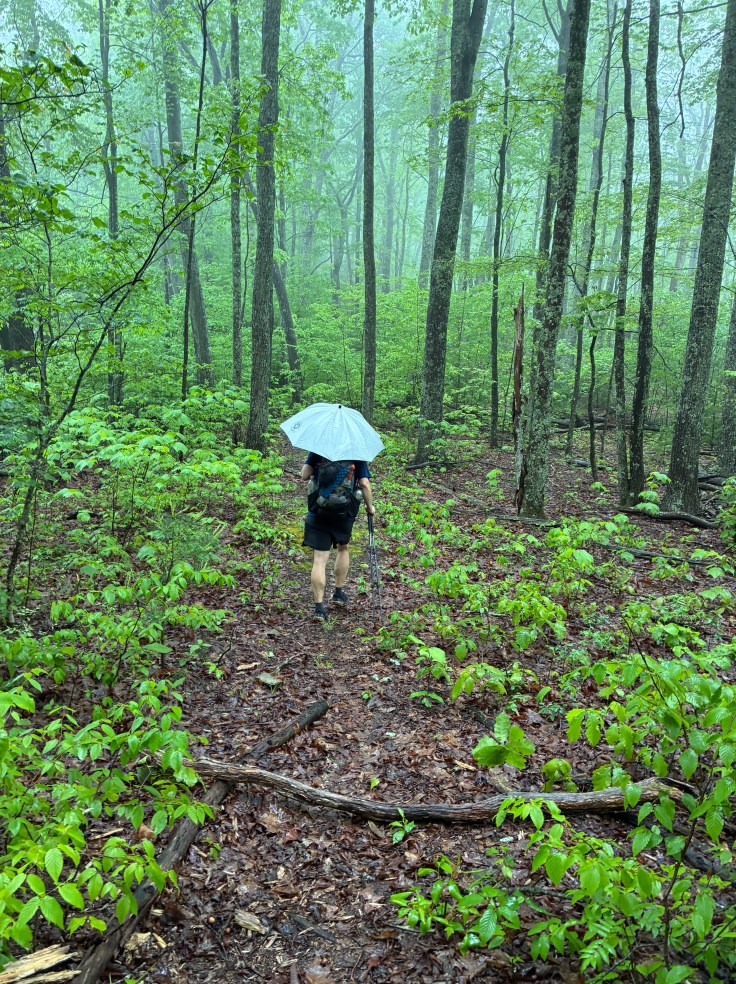
The hike out of Durbin was on a well-maintained, well-marked trail through the woods. The blazes for the whole trail are extraordinary. Except for the southernmost portion of our trek, and a short section into Marlinton, the trail was very well maintained. The trails are perfect for cruising. There are few rocks and climbs are generally well-graded. It rained on and off all day, but it was mostly a gentle rain, drizzle, or mist. There was nothing like the squirrel-catcher bucket-drop we encountered at the Sheetz on the drive to the trail.
We arrived at Cass very early in the day. The three of us hiked together and we naturally have an almost identical pace. Because it was only the three of us, we had the luxury to change our plans on the fly. Originally, we planned to eat dinner in Cass and then camp a couple miles south of town that night. However, the next town, Marlinton, was 28 miles from Cass. If we wanted dinner in Marlinton the next day we’d have to hike a big day on Sunday. Or, we could hike the 8 miles out of Cass that afternoon and make our first day our big day. WB lobbied for the latter, and Logan and I enthusiastically agreed. We hiked a total of 28 miles that first day.
Just before the end of a very long, wet day we encountered an old man with his equally old dog on a gravel road getting water from a piped spring extending from the side of the mountain. He enthused about the water, claiming it was the best spring water in America. He said there are sometimes cars lined up blocks to get it. Naturally, we stopped to partake and praised the water like it was a fine cognac which made him happy. However, it tasted like any other spring water. He asked us what we were doing (as if the backpacks and trekking poles didn’t broadcast our activity). When he learned we were hiking up the mountain and camping he asked if we had guns to protect ourselves from bears. He said there are tons of bears in the area and that people hunt them with teams of dogs. Logan, WB, and I looked at each other and smiled knowingly. Non-backpackers think bears are the biggest danger in the woods. To backpackers, bears don’t even make the top 10 list of dangers. I’m much more afraid of ticks than I am of bears. We assured him we’d be careful as he shook his head worriedly and we hiked onward.
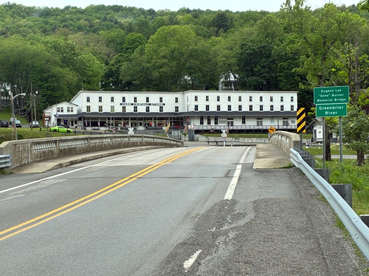
Cass, like Durbin and Marlinton, are depressed towns along a former railroad line. Built for the logging industry in the early 1900s, the towns lost their economic vitality when they ran out of trees and the lumber and paper mills closed. Now, Cass has a couple of restaurants and a historic steam engine train for tourists to ride. WB remarked that she did not get the “vibe” of the restaurant where we had dinner. A former railway station, the restaurant looked like it was a fancy restaurant at one point in history. It was no longer fancy. The filling “comfort food” they served was all the vibe I needed. After dinner, we hefted our packs and hiked onward.
We camped that evening on top of a mountain 8 miles south of Cass in a former Civilian Conservation Corps (“CCC”) shelter. Unlike an Appalachian Trail (“AT”) shelter, which is a platform with three sides, this CCC shelter was just a covered stone slab. I chose to pitch my tent on a knoll a few yards from the shelter; Logan and WB spread out their sleeping pads on the slab and spread out their wet tents on the shelter rafters. Overnight we each regretted our choices.
I regretted tenting because the skies opened again, and it rained hard all night long. Even with my ear plugs I had a hard time sleeping and woke often. I wished I had decided to stay in the dry shelter.
Logan and WB regretted their choice to stay in the CCC shelter because its open sides let in mist that dampened all their gear.
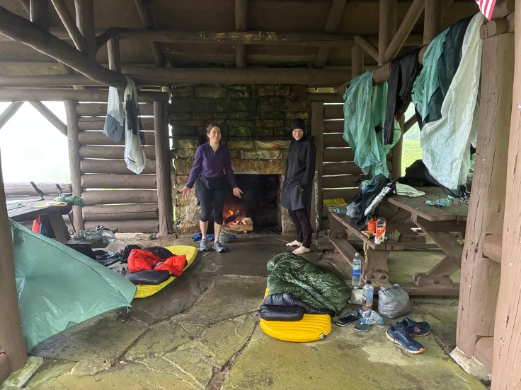
The shelter featured a fireplace, and Sunday morning we tried to get a fire going to dry out our gear and to warm ourselves. The temperatures were cold enough that I was wearing light mittens. Of course, it was raining. Unfortunately, we couldn’t get the soaking wet firewood to become a sustainable fire and we gave up. We packed up and hiked on toward Marlinton, 20 miles away.
The trail felt much like the one on Saturday—a nice trail through dense woods. These mountain forests are very pretty. The heavy rains filled all the streams and the usually-dry drainage runs. The trail itself featured a steady diet of pointless ups and downs. We’d climb for a time, reach a viewless summit, and then decline for a time, before repeating the pattern. It was like the Roller Coaster section of the AT, but with longer ascents and descents. I’m sure hiking when it is not raining would yield some views. However, the forest is very dense and overlooks through the leaves seemed rare.
The trail makers only recently routed the trail into Marlinton. Only a couple weeks prior the trail bypassed the town to the east. However, the new route clearly was not up to the ALT standards we had come to enjoy. Suffice it to say that we called this section “Stinging Nettle Highway.” It was awful! We were all wearing shorts and the nettles were overgrown. We stepped on them, tried to spread them away from our legs with our trekking poles, and tried lifting our legs up and down as if marching to avoid the stings. The nettles won, of course.
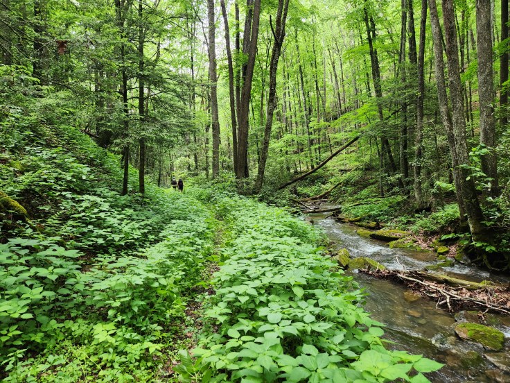
Eventually, we left Stinging Nettle Highway and reached a section of the ALT that is also a part of the Greenbrier River rail trail. Just like the C&O Canal tow path near Washington, DC, the rail trail is a perfectly flat trail of crushed stone. We were glad to leave the nettles but soon learned that walking a flat trail with wet feet creates the perfect conditions for blisters. Also, the sun came out for a microsecond. We learned that one can get sunburned very quickly. We developed red noses and cheeks.
In town we had no trouble finding the ice-cream store. We had a rough time finding the pizza place, though. They didn’t make it easy to find. It was hidden in the back of a bicycle store which oddly advertised itself with a grocery store sign. I bet they would sell both more bicycles and pizza if they called their store something more descriptive than “Food Stores.” We ate pizza on living room style comfy furniture in the bicycle showroom.
That evening we camped along a river in a town park. Understandably, the rain kept almost everyone away. Oddly, cars would occasionally drive into the park, linger, and drive off. We spread our gear out inside a nice big gazebo and pitched our tents just outside it. After the prior night CCC experience, none of us wanted a repeat. It poured again all night. (Of course, the gazebo was bone dry in the morning and would have been a great place to sleep). Overnight we heard the loud crashes of giant trees falling across the river from us. The steady rain clearly loosened the soil enough to make the trees unsteady.
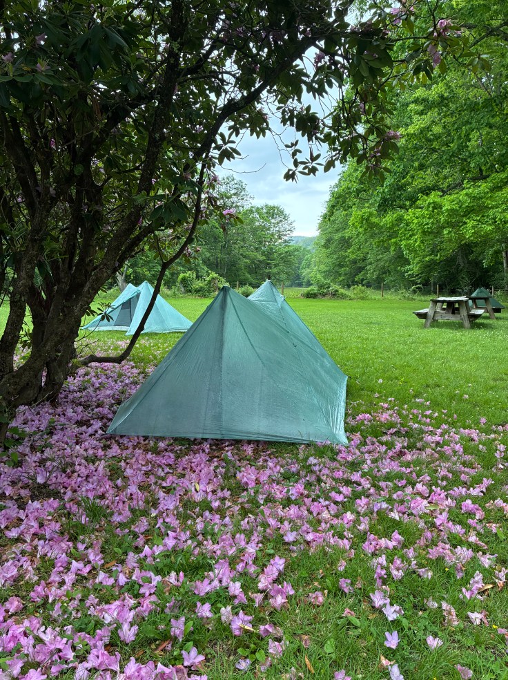
We woke Monday morning—Memorial Day—to breakfast on leftover cold pizza before continuing our trek. The pointless up and down pattern of the trail continued, as did the on and off rain, but the quality of the trail had diminished. It became more of a bushwacking experience with deadfalls for us to climb through and around and knee-high brush to push through. Amazingly, we saw no ticks on us that weekend.
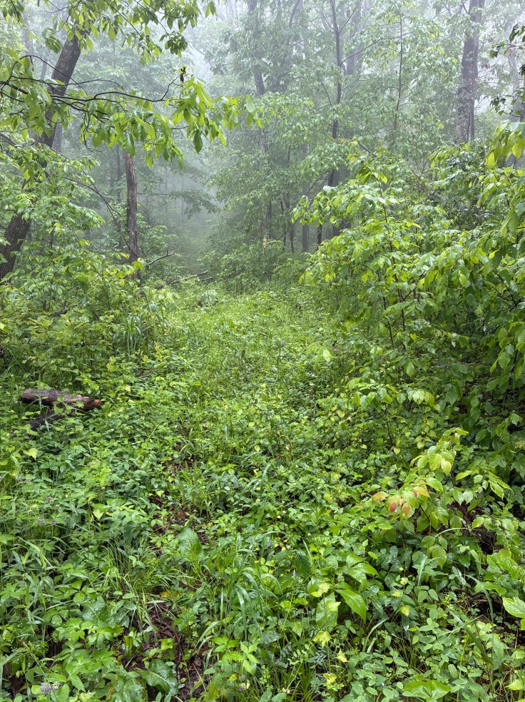
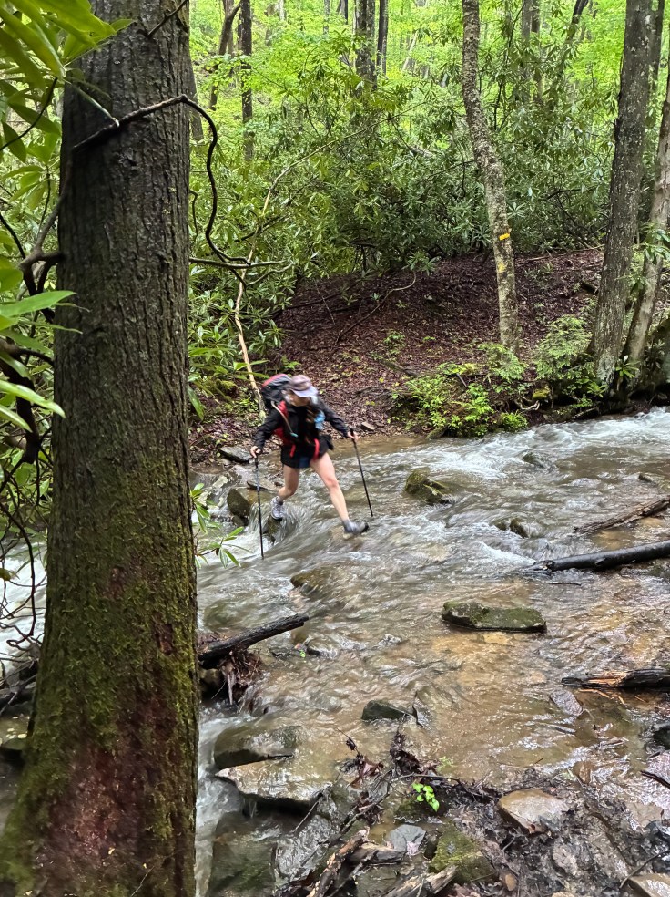
We descended steeply down a section of the trail with a million short switchbacks into a deep gorge with rain enhanced waterfalls all around us. This is where the stream became the trail. We sloshed through the water, which was really quite pleasant despite how it sounds. The temperatures in the 70s made the cool water feel good on the feet.
WB had been hiking ahead of Logan and me at that point and, when we reached a river crossing, we saw her on the opposite bank waiting for us. She had crossed the river, realized it was waist-deep, and thought we should all be together for any subsequent crossings. The map showed a bridge over the river, but it wasn’t there. Per the blazes and our GPS we were certainly on the trail, making this a mystery.
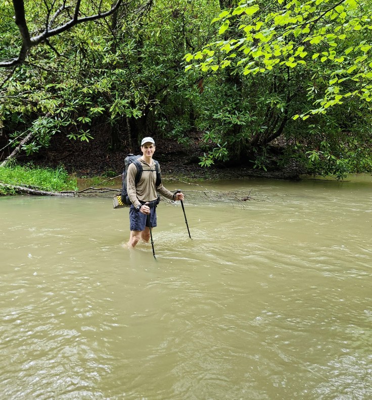
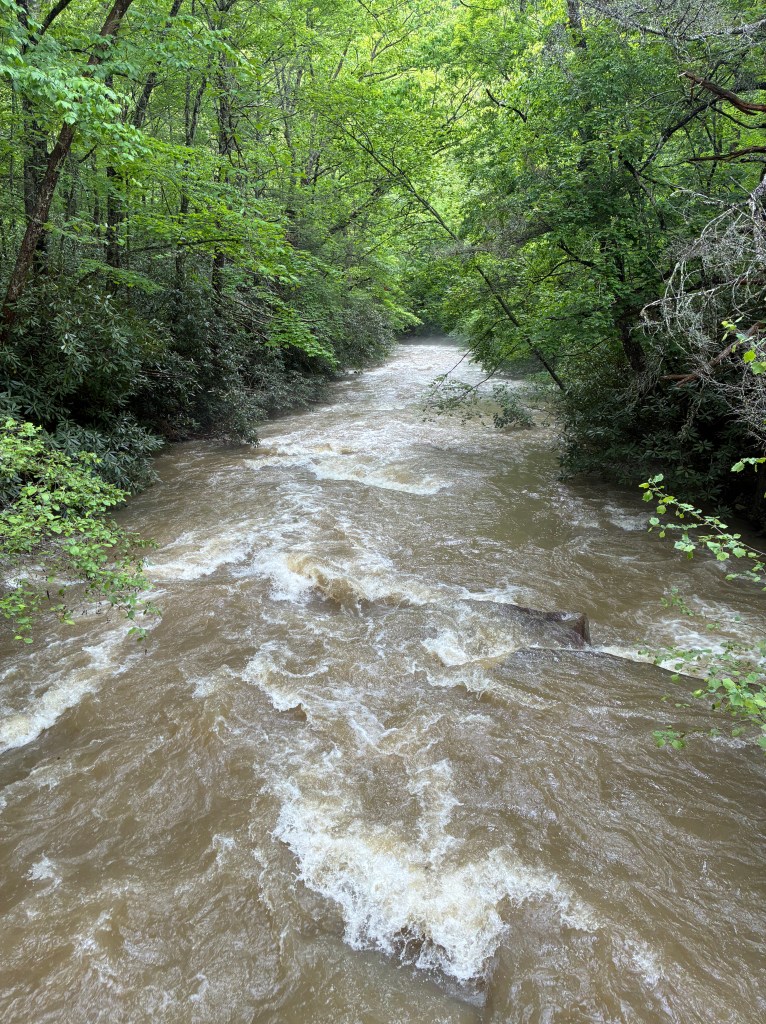
It turned out the rain had swollen a side channel that we were crossing. It was not the river. It only looked like one. We came to the bridge over the official river, which was raging. Without a bridge we would never have attempted to cross it. We broke for a snack.
WB told us about how she saw 3 bear cubs earlier but never saw the mama bear. Her strategy to scare away the bears was to (and I’m not making this up) sing! Why would she think this would work? I suppose “The Chicken Dance” would repel both man and beast, but what do I know? I asked WB what song she chose to strike terror in a 600-pound killing machine that can pounce at 30 mph. She said it was just random notes. This surprised me. When you get to the point where you are singing to scare away a bear, is that really the time to compose a new song? Why not just break out an already written song? She could have appropriately used “I Will Survive” by Gloria Gaynor: (“At first I was afraid, I was petrified/Kept thinkin’ I could never live without you by my side/But then I spent so many nights thinkin’ how you did me wrong/And I grew strong/And I learned how to get along . . . I will survive, I will survive!”) Ok. Maybe that starts out too slow to scare a bear. [Fun fact that I just now made up: Elton John composed “Tiny Dancer” when being charged by a wild bull in Spain].
After our break we faced a steep climb out of the gorge to mirror our previous descent into it. We frowned as we regarded the steep elevation profile chart on our FarOut app. I pulled out my earphones and sighed. It had been a long day. “I’m going to need some Def Leopard for this one,” I told my friends. “I need to ‘Pour Some Sugar on Me’; I can’t do this one alone!” WB quickly commented, “Ahem. You are not exactly “alone.” We’re hiking with you, you know.”
Unlike our trip up to this point, the three of us spread out. So, I was alone when a bear jumped out in front of me! Before I had time to react it sprinted away up the trail. I got a photo of him just before he disappeared around a bend.
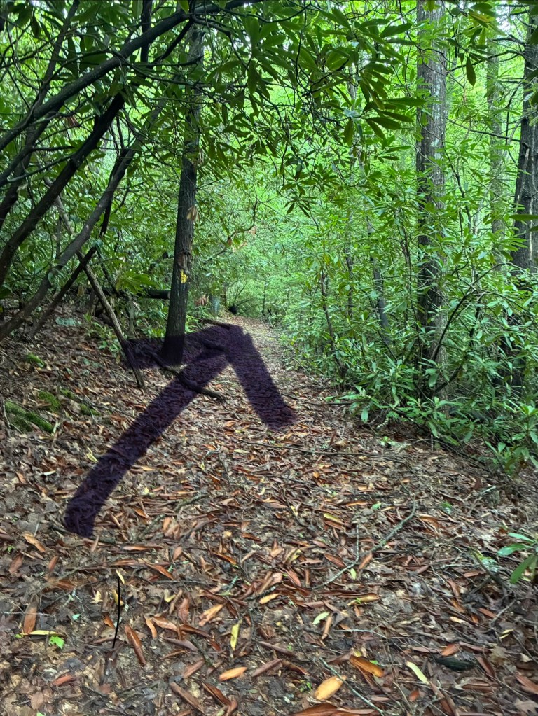
This created a dilemma. He went the way I needed to go. I decided to go slow and, lacking WB’s music composition skills, I started barking like a dog to warn the bear away from me. I remembered the old man by the spring who told us about all the hunting with dogs in the area and assumed that bears there would have a healthy fear of barking. It worked! I did not see the bear again. (He was too busy laughing at a grown man barking alone in the forest!)
As we continued hiking, we occasionally heard the crashes of more trees falling. So, when we arrived at our intended camping area for that evening, the woods made WB and me a bit apprehensive. (Logan was nonplussed). I considered setting up my tent in a nearby grassy field. However, the weather forecast called for thunderstorms, and I did not want to be exposed if there was lightning. Adding to the macabre feeling was the existence of an ancient cemetery nearby. One of the tombstones reported the occupant was born in 1774.
I pitched my tent in the forest only to later reconsider my site selection. I didn’t like the lean of a nearby tree. So, I took down my already wet tent, that only got more drenched in the rain and pitched it next to my friends. There is comfort in proximity to others.
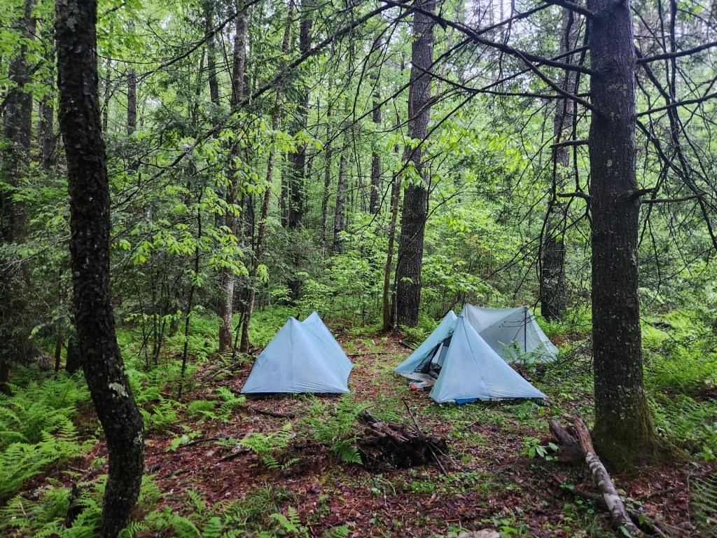
WB requested a DC UL-style wake up call for our last morning on the trail. I promised a witty one. So, at 6:00 a.m. Tuesday morning I belted out: “Good morning, DC UL! Cry me an atmospheric river—in Wild, Wonderful, and Wet West Virginia!” It was a bona fide mic drop moment.
With only 6 miles left to hike until we reached my prepositioned car, we finished our trek very quickly. Most of the hike was on a ridge with knee-high brush to push through. The rain was mostly just a light drizzle. It was at the annoying stage—too little falling to really compel using an umbrella, but enough to soak a shirt over 6 miles. I alternated between deploying it and stowing it.
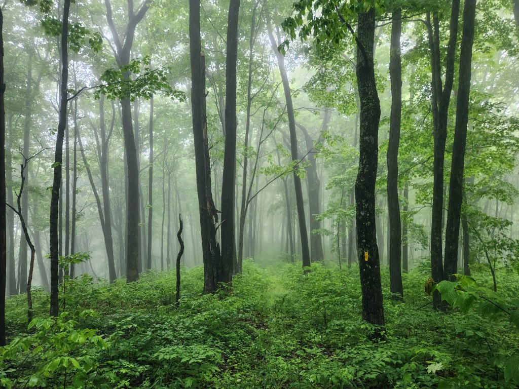
DC UL has not been hiking the ALT for some reason. Few others appear to be doing so, either. On our Memorial Day weekend trip—one of the most popular backpacking weekends of the year—we saw no other backpackers and only one day hiker. This ought to change. It is a great trail.
When I arrived home and spread out my sopping-wet gear in my garage, I looked up the news about the atmospheric river we so personally experienced. I learned to my disappointment that, technically, we hiked through a “conveyor belt of moisture,” which is only a subset of “atmospheric rivers.” Oh, well, just “cry me a conveyor belt of moisture” then!
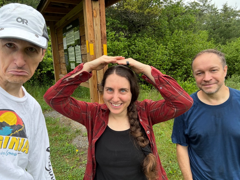
— David O (“Spider-Man”)
How we did it:
We drove two cars to the Bear Branch trailhead off Rt. 92 near Lake Sherwood to leave a car. We then drove north to East Fork Campground in Durbin to park the second car and to camp. It took over 5 hours to drive there and set up the shuttle. The camping fee was only $26.50. There was no parking fee, but we got permission to park from the Campground. We hiked southbound using the FarOut app. One really must use FarOut. It is the official map of a trail that gets a lot of changes to it. Any other map may be obsolete. Download Google maps for driving directions. There is no cell phone signal in the area, including in the towns. The region is in the National Radio Quiet Zone, and radio and cell signals are restricted by law to aid scientific research and military use.
 DC UL Backpacking
Leave a comment