I probably shouldn’t admit this, but—in full disclosure—I didn’t have high expectations for this route. Michael and I are working on updating the Shenandoah day hike book so the goal was to get Bear Church Rock into the mix and then walk more to get a high-mileage day for general training purposes.
My usual mode of operation when developing a trip is to carefully concoct a pleasing route that leads to a majestic view, swimming hole, or lovely campsite. With this, I had the stunning views of Bear Church Rock done in the first quarter of the hike and then had an endless stretch down a fire road to get miles at the conclusion of the day. And I didn’t even know what the campsites looked like – oh, the horror!
That being said, this turned out to be a nice route (minus the fire road, which only Michael did… but more on that in a bit). It’s a good one for general training purposes as you have a few options to either go the full stretch or shave off a few miles, depending on how much you like fire roads.
We headed out early afternoon on Friday and made our way to the Graves Mill trailhead. This was my first time entering the park via this trailhead, and it is a treat—Graves Mill runs alongside the stream and we caught some trilliums starting to peep out. We started to look for campsites at the intersection with the Staunton River Trail and found one just a bit further on Graves Mill. It had a spot for one tent which was perfect for our group since we had three in hammocks and one tent.
The wind was kicking up a bit so Michael and I both prudently put up our tarps—Chris had already done so—and we then all settled into our respective shelters. We were nice and sheltered here… or so I thought.
Now, I’ve had windy nights while backpacking, but I would put Friday night as one of the worst nights I’ve ever spent in a hammock. Gusts of wind barreled through the area, at one point pushing my underquilt up in the air and at another point causing all the stakes on the tarp to come out. I wound up tying my tarp to nearby trees to see if that would keep it anchored. Forget trying to stay warm—the wind kept the cold pockets filled with each gust. At one point, I contemplated getting up and just starting to walk.
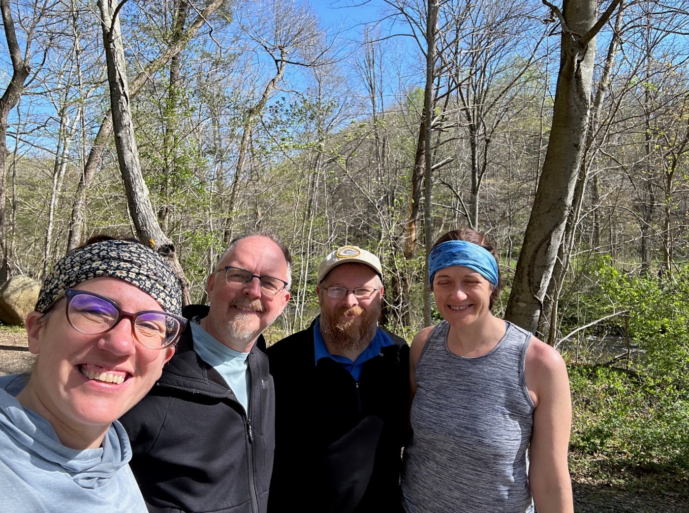
Morning finally came and we compared notes. I don’t think anyone had a great night, but our spirits were high. Then, it was time to hike. We made our way back to the intersection with Staunton River and started to follow this trail. Staunton River starts off with a mild uphill—it’s another nice trail with scenic water views and mountain laurel ready to bloom—and then gradually steepens as you turn on Jones Mountain Trail and start making the climb to Bear Church Rock.
The wind was still whipping about. I got to the overlook at Bear Church only to be greeted with another blast of wind and quickly scurried back to the trail. It was a long climb but the nice thing about this route was that turning onto the AT meant that you were more or less done with climbing for the day. Huzzah.
Rather sadly, I believed that the Wayside at Big Meadows was closed so I turned early to hop on the fire road and then cut over to Mill Prong Milam Gap. My feet were feeling the miles. Michael, Chris, and Ellen decided to investigate for themselves and found that the store was indeed open – no hot food, but beer and Gatorade aplenty.
I found myself in the odd scenario of being the first to camp. Somehow, I managed to pass by Michael, Ellen, and Chris who were enjoying the sites (and chairs) of Rapidan. I went straight to Laurel Prong and then started to look for a campsite right after the intersection with Fork Mountain. I didn’t have to look far—there were two campsites nestled next to each other just past the intersection. I opted for the one closer to the water—and dear readers, rejoice with me as it was a very nice campsite. In a few weeks, I suspect it will be quite beautiful as mountain laurel and rhododendron are throughout the area—if you are a fan of spring blooms, this is the route for you.
Michael, Ellen, and Chris soon arrived at camp–only Michael had done the full fire road walk, bringing his mileage to 20 for the day. My cut-off probably put it around 15 / 16 for me. Again, this makes for a good route if you’re looking for flexibility with the mileage.
We had a nice and relatively wind-free evening. Sunday had just one more climb in store for us, heading up Fork Mountain, and then meeting back up with the Staunton River Trail. Much like our campsite, this area will be quite lovely in a few weeks with mountain laurel in bloom.
All in all, a nice outing and a better-than-expected route. For future trips, there are large campsites about 0.5 miles up the Staunton River Trail, as well as near where we camped on Graves Mill.
This was also my first experience with the new reservation system for backcountry camping in Shenandoah. For those not aware, Shenandoah instituted the new system at the start of the year which requires the purchase of a permit for backcountry camping. Overall, it was a straightforward system but there are a few things to keep in mind:
- If you’re coming in from the boundary, it may not be immediately evident which “zone” you need to select to note your entry/exit points. You may need to click around a bit to see where your entry point is listed.
- It looks like you need to list all cars on the permit so there’s a bit of legwork you’ll need to do in advance. I typically wait until I get to Vienna to finalize cars and drivers since I like seeing what cars show up and keeping my options open—no more with this setup. For this trip, I requested information for the cars in advance—that being said, this was an easy one to manage since we only had four people and two cars in play.
- The final cost of the permit is determined by how many people are on it. I waited until Wednesday to see where I landed with numbers and then purchased a permit based on that information.

” … so I turned early to hop on the fire road and then cut over to Milam Gap.” This bit has me confused. It seems to me you would have long passed Milam Gap before getting to Rapidan Fire Road.
LikeLike
You caught my typo. Mill Prong, not Milam Gap.
LikeLike