Our for this trip plan was to gather at Bootens Gap at 10:30am on Saturday morning. Six out of nine of us had arrived when Karan started getting texts. Google maps had routed Emily, Eileen, and Mark up an undrivable fire road. They each had to turn around and it would take them another hour to get to the actual trailhead. Karan worked some texting magic to try to make sure that the three could meet up and hike together.
Our group of 6 set off down the trail around 11:00am. It was a beautiful day: sunny and in the high 50s up on the ridge. About 15 minutes into the hike, Karan realized he had left his camera behind and went back to the car. Once there, he decided to wait until our other three trip members arrived.
Back on the trail, Aileen, Randy, Yvette, Alex and I made our way along the AT for a little while before taking a detour up to Bearfence Mountain. There was a rock scramble to get to the top but the view (and breeze) were worth it! We reconnected to the AT and a short while later, descended along the Slaughter Trail until we came to a nice lunch spot.
The trail between there and the Conway River was pleasant but full of spiderwebs! It was obvious that no one had been down the trail that day, perhaps longer. We took another break at the first Conway River crossing and were surprised to see a few day hikers go by. This started another nice stretch of trail with a few river crossings that we made with varying degrees of success.
Alex, Yvette, and I had gotten a little ahead of Randy and Aileen over the previous mile so we stopped after the last Conway River crossing to wait for them. After about 20 minutes without seeing them, we got concerned so Yvette and I went back down the trail to look for them. A few minutes in, we ran into Karan, Emily, Eileen, and Mark coming up the trail. They hadn’t seen Randy or Aileen.
Karan joined our search party which led us back to the stream crossing where we had last seen the pair. We followed a trail down to the Conway River, crossed, and then bushwhacked up to a dirt road. The road eventually connected to our route but bypassed the spot at which we had been waiting for them. With no other viable options for where they could have gone, we decided to push on and hoped to see them at camp.
Yvette, Karan, and I picked up Alex who had been waiting by the river where we left him. We rejoined the road which had a few drive-in campsites on it. We loaded up on water at the last source and then followed the route through high grass to a 4X4 road. This is where things started to get (even more) interesting! As we were climbing up the 4×4 road, we heard voices behind us. It was Mark, Eileen, and Emily who had taken a wrong turn before getting back on track. Further up the road, we heard voices again! This time it was Aileen and Randy descending from an unmaintained path up to Cat Knob. They had crossed the Conway River to the road sooner than the trail did so they had bypassed us on the road but didn’t know they were ahead of us.
Now at 5:30pm or so, the gang was finally all together for the first time and we aimed to keep it that way. The 4X4 road got increasingly dense with stinging nettles and then it got steep. It was sweet relief when we finally joined the Jones Mountain Trail. Our intended campsite was covered in waist high stinging nettles but we found a spot further up the trail that would accommodate us.
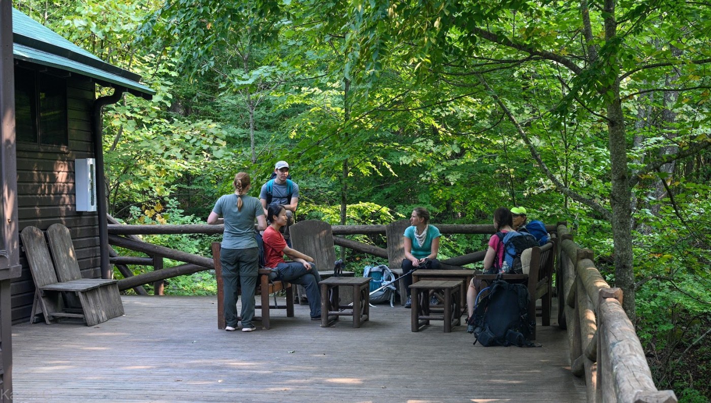
We set up camp and then chatted as we made dinner. By the time we had all cooked, it was dark. Not long after, we decided to call it a night.
Karan gave the wake up call at 6am. We got to glimpse the bright orange sun through the trees while eating breakfast and were on the trail at 7am. We walked along the Jones Mountain Trail. It felt extremely pleasant to be up and moving on the ridge.
At the intersection with the Cat Knob Trail, Randy decided to take that back up to the AT. The rest of us continued down the Fork Mountain Trail. It was a nice, easy descent and we took a short break at the bottom by Laurel Run. We also checked out Rapidan Camp and all agreed it would be a lovely place to stay overnight if such things were allowed. Alas, it was time to move on.
I found the Mill Prong Trail to be a gradual climb and quite pleasant. At the top, we reconnected with the AT. We took a quick break there during which we discussed a myriad of toilet paper alternatives. Mark advised strongly against using most plants and everyone rejected my suggestion of smooth stones. Backcountry bidets seemed to be the most amenable option.
We hiked a few more miles on the AT back to the Bootens Gap parking lot. Due to the small size of the lot, Karan had to shuttle Emily and Eileen to their cars a little ways down Skyline Drive. To celebrate an ultimately successful trip, we settled on a meal at Big Meadows Wayside!
Google photos album: https://photos.app.goo.gl/K3rR8FtEtKhpjhMe8

Leave a comment