Six years ago, DCUL tackled this trail for the first and only time in the club history. Back then, me, the Baconator, Blue Blazes, B~~~, Heavy D, and Superman completed the 91-mile route over a warm Memorial Day weekend (you can read of that memorable trip here). With the country climbing out from under the pandemic, I thought it was time to revisit this trail—setting up a roughly hundred miles of car shuttle is no small thing. I admit I arched my eyebrows skeptically when no fewer than 13 people signed up. “Ah well,” I thought, “there will inevitably be some defections in the lead up.” Dear reader, there were none. Thirteen signed up and thirteen headed to the trailhead on Thursday.
We all convened with no fewer than eight cars at the little town of Jericho, Pennsylvania, where we soon reached an agreement with the amicable local landowners to leave a few cars on their property (I did compensate them a little). The locals watched us play the game of you have a fox, a hen, and a bag of grain on one side of a river … but we soon figured it out and drove to our beginning point near Farrandsville. David O had brought donut holes, so people ate those and grabbed a few beers from my cooler. Soon, though, we were off, roughly at 3 p.m.
Thursday evening, we walked through the pleasant late afternoon sun, approximately 11 miles. Where the forest road walking ended, we were lucky to find a field that could accommodate all 13 of us, ground dwellers and tree sleepers alike. (Indeed, thanks to B.A. and Faceplant, we had very good campsites throughout the trip, despite the fact that the trail is not exactly rich with them.) We ate our dinner in the field, staring up at the sky. I talked about Big Foot. BA and Logan claimed to see a UFO in the sky, but I saw nothing.
The next morning, we suffered our first contretemps. Brian Crowe had injured himself at work the previous week and was not feeling well. We determined that it would be better for him to return to his car, just 11 miles south, instead of continuing onward. Though disappointing, this was totally the right decision, I think, as Friday proved an exceptionally difficult day. In 2016, our route to Hyner Run State Park had looped around to the east, mainly on forest roads; the new route stays closer to the river, but does a great deal more climbing and dropping.
And then there was the weather! We knew it was going to rain, but … from roughly 1 p.m. forward we were doused by rain—totally hypothermia weather with temps in the 40s. As Holley, the Baconator and I climbed the steep slopes to Hyner View State Park, I remember feeling that the conditions felt rather Scandinavian, like something from the Kungsleden or Iceland. We three stuck fairly close together in the late afternoon downpour and made good time to Hyner Run State Park. As the trail entered the park it got quite rough and we resorted to the road. We were in the front because we had cut off a strange loop of trail—and we didn’t feel bad about it, at all—but we were soon joined by B.A., Faceplant, Logan, and David O. We regrouped in a pavilion in the largely shut down park. A prom couple took photographs while we took shelter and wrung out our wet things. The others trickled in. We contemplated that we had walked more on the first and second day than we had in 2016, only to be in the same spot! But the re-route seemed a decided improvement to me. The view from the Hyner View State Park was well worth it, even on a rainy day. On a pleasant day, it would have been a fantastic place to have lunch.
So, Friday was roughly 26 miles and 5,000 feet of gain (minus 3 miles for those who cut off the bend, as I did). People curled up and slept near the park as the rain continued. Shuttle, B~~~, and I went ahead and slept in the forest, figuring it was easier to hang the hammocks that way. We stayed dry and warm despite the rain, which continued all night and through the next morning.
Saturday, however, began with some easier, quick plateau walking, speeding forward towards the footpath shared with the STS. Down Seven Mile Run we went and up Young Woman Creek. We reminisced about the rescue operation that got launched in 2016 when Blue Blazes went the wrong way on the STS and ended up at Ole Bull State Park (in her defense, both directions are blazed orange). But no one made that mistake this time. To many of us, the STS felt like a highway and I walked the well known path comfortably, crossing Morgans Run, the Greenlick, and then Scoval Branch. Some saw a beaver here—there are massive beaver dams. We camped at the junction where the STS and the Donut Hole Trail diverge, roughly a 23 mile day. Incidentally, this is a terrible spot to hammock, as all the trees are too small. Shuttle, B~~~, and I set up in some bigger trees, maybe 200 yards west, Shaf a little farther (note that there is a campsite that could accommodate a small army about a mile west).
Sunday would be our last full day and at least it wasn’t raining, even if we were all still a little damp. We walked through hollows, climbed grades without the slightest switchbacks, and ambled along the plateau. Around lunch, we gathered at the Tamarack Fire Tower. This is the section of the trail that I missed in 2016 because I was off on the rescue mission. Essentially, it is the approach to Kettle Creek State Park. The trail dives through a full hollow, crosses an interminable stretch of plateau, and at last parallels Summerson Run down to Kettle Creek.
There, most of the group opted for the high water crossing. The Baconator, Shaf, and I crossed the water in the lower campground. I did have a moment of fear when the Baconator stumbled in the crossing, but he was fine, if a little soggy. The trail above was very rough and steep, but we pressed forward to Honey Run, where we tanked up. B.A., Faceplant, Logan, David O, Holley, and Wolverine had camped in a beautiful forest of ferns, but I had encouraged Shaf and the Baconator to stop about a third of mile short (about 25 miles for the day), so we camped a bit dispersed. Reza, Shuttle, and B~~~ did not make camp that evening. Reza got a text message through—he had crossed the water but struggled to find the trail on the other side. So he had to re-cross and camp lower down in Honey Run. As for the others? We didn’t know, but this was Shuttle and B~~~ we’re talking about. We figured they’d be fine.
Reza reached us Monday morning at about 6:45 a.m. and we departed camp without Shuttle and B~~~ at about 7:15 a.m. (a late start for us, 6:30 a.m. being our usual departure time). At last, we had a cold but clear morning that felt like an ordinary Memorial Day weekend. We passed a few viewpoints, clambered in and out of hollows, and crossed another long plateau stretch with nasty footing and faint connect-the-dots-type blazes. Soon, though, we reached Ellicott Run and then our cars, after about 13 miles.
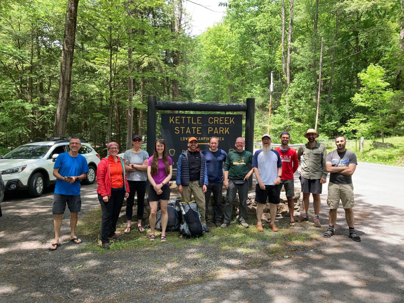
We had a bit of a quandary then about what to do regarding Shuttle and B~~~, but they made it easy on us. We drove all four cars back to Kettle Creek where our misplaced hikers were waiting by the park sign. B~~~’s feet were bothering him from the wet and they had agreed to pull up short of Kettle Creek the night before. There was a joyous reunion, we completed reversing the shuttle, and then it was off to the Knickerbocker in Altoona. You didn’t imagine we’d forget that, did you?
All in all, this was an excellent, challenging weekend with a fantastic group of backpackers who were all quite determined to hike this trail. We’ve been doing these Memorial Day jaunts for about a decade now and a part of me feels like they represent at least one facet of what DCUL is all about. It’s fantastic that we had ten completions. Splits were, we think, about 11 / 26 or 23 / 23 / 25 / 13, so we clocked the DHT at 98 or 95 miles, depending again on whether you cut the bend. Each of the main days was roughly 5,000 feet of gain, too. A significant bit of hiking.
Thanks everyone for the great adventure! Let’s do something similar in 2022!

Leave a comment