The original plan for this trip was to hike a ~45 mile loop in the Ramsey’s Draft Wilderness area over the long weekend. However, as the trip approached, weather reports indicated that there was going to be wintry accumulation in the area. Basically, it was looking like a snowshoeing trip. We – that’s Brian, Bryan, Dan and I – made the right call to scale down the trip length and opted for the classic loop connecting the Shenandoah Mountain trail and the ridge trails east of Ramsey’s draft for a trip length of 2 days and ~20 miles.
The forecasts for our trip looked intimidating. There was going to be rain in 30 degree conditions in town, so I figured it would be snowing up on the ridge at 4k feet. But then, as we drove down to the trailhead, we faced pouring rain at 25 degrees and it hit me that it could be rainy up on the ridge too. The roads, by the way, were laden with tons of salt and we did not have any trouble reaching the trailhead. When we got there, there were no other cars in the lot and there was ~2-3 inches of icy snow on the ground. It was crunchy on the top and loosely packed. We made another good decision to leave our snowshoes in the car , and started the trip with boots and microspikes.
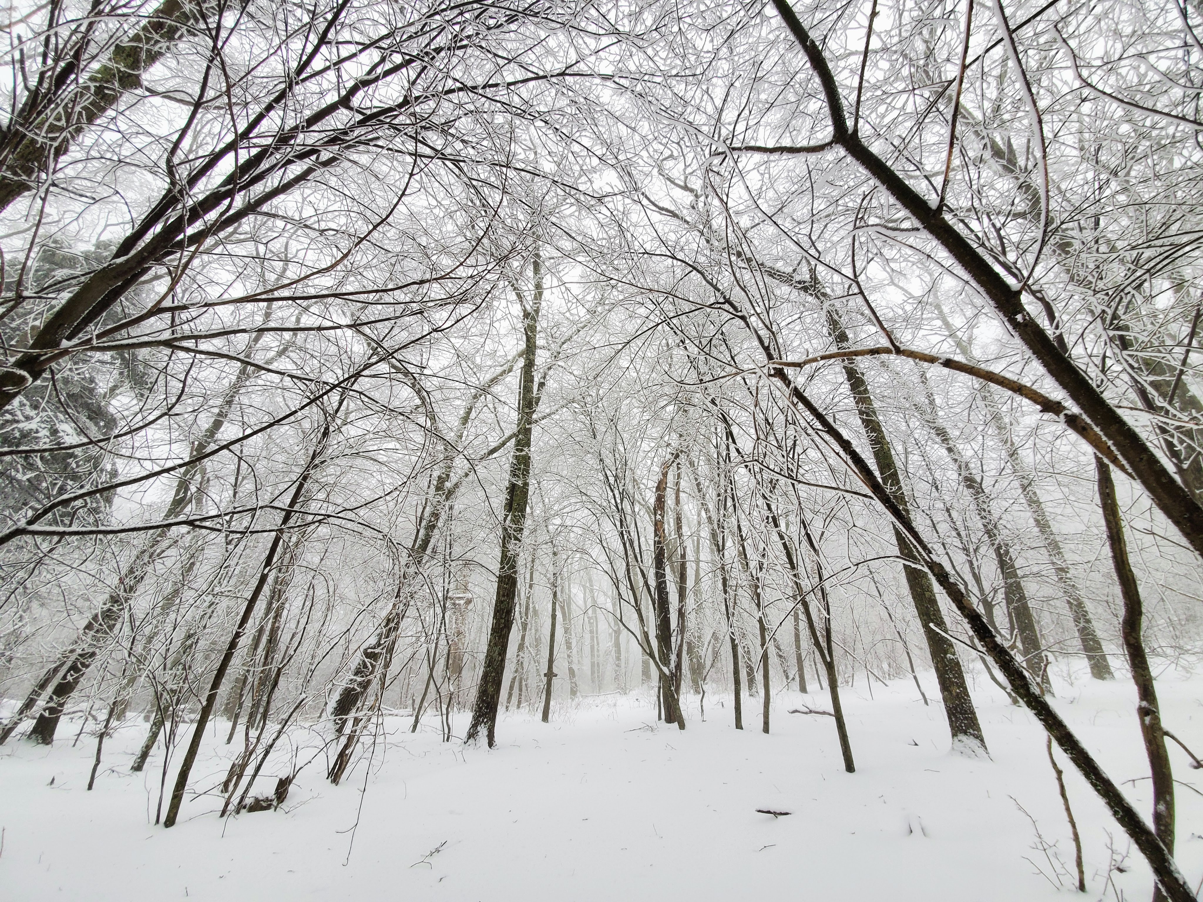
All saddled up, we started making our way up to the western ridge via the Road Hollow trail. The rain had dwindled down to a light drizzle. Temps were just below freezing and would stay constant the entire day. The trees were laden with beautiful ice that would get thicker as we gained height. At the next junction, we headed North on the Shenandoah Mountain trail.
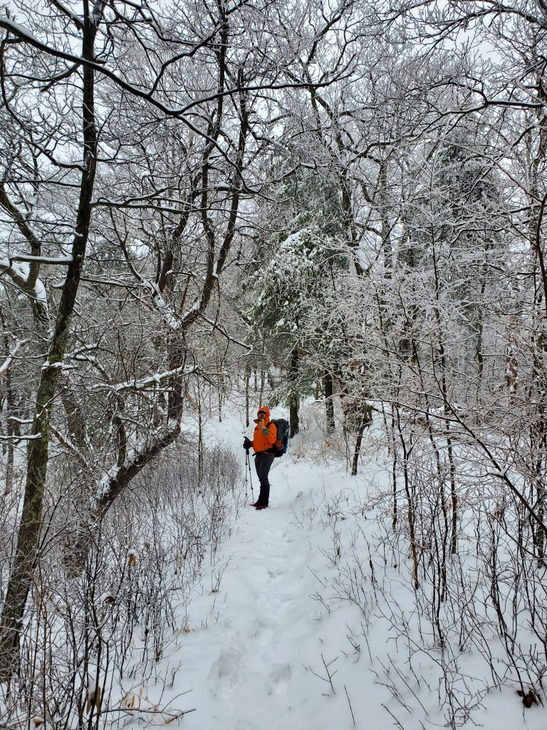
The snow depth was now near 5 inches and it took some effort to break the trail. It was also fun to kick the ice on top and watch it slide down the slopes. The miles were not easy and we took breaks to fuel ourselves, while being amazed at the snowy and icy landscape. The Shenandoah Mountain trail was in good condition and did not require much special maneuvering. We also enjoyed seeing numerous wildlife footprints – especially one set that we thought belonged to a Bobcat (This page does indicate that there are bobcats in the region). Finally, we headed east on the Ramsey’s Draft trail that topped us over the saddle and down to Hiner Springs – our destination. At 4k feet elevation, the snow depth was close to 6-8 inches here.
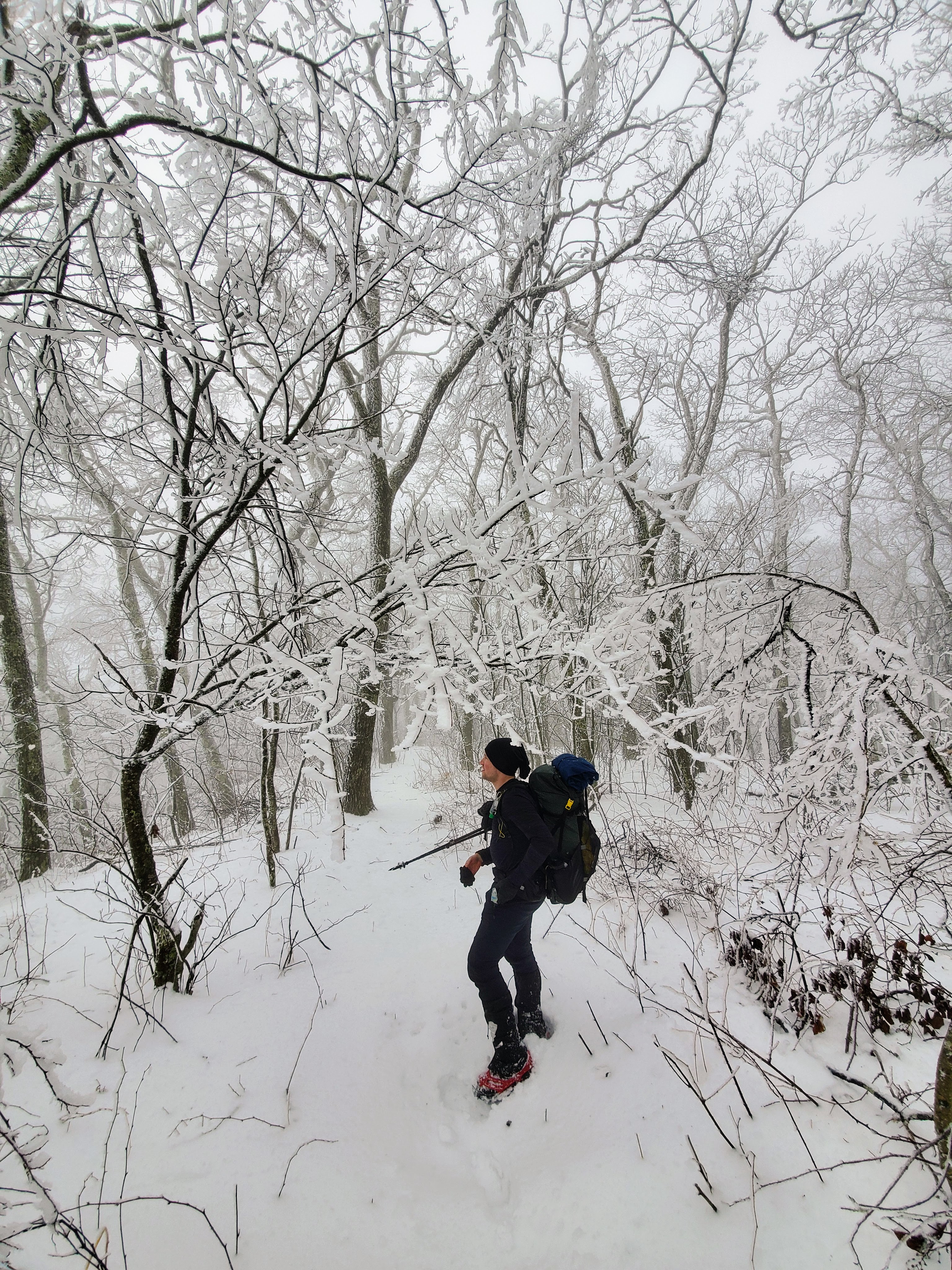
Around this time, the wind picked up a little bit. It resulted in ice falling off trees or branches falling under the heavy weight of the thick ice. We busied ourselves with setting up our shelters, gathering water and cooking our meals. I took a shot at getting a fire started, but the wet wood refused to get going and we gave up (none of us had any fire-starter kit). At some point, a branch of wood fell less than 2 feet from Bryan’s tent, making us a bit nervous. The ice/branch falls continued on when we retreated to our shelters.
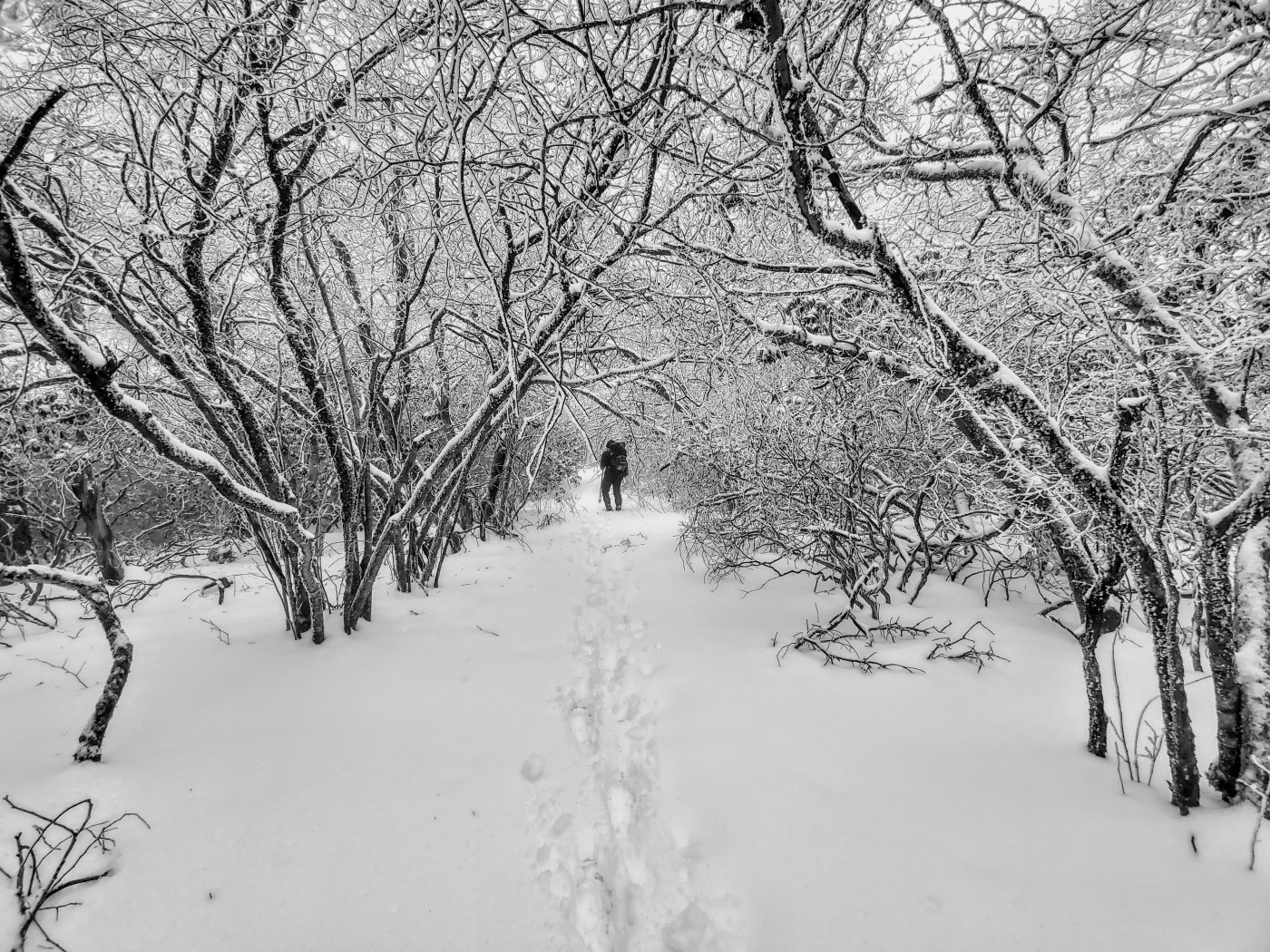
We debated the next morning whether it rained in the night or got warm resulting in a partial ice melt. Overall, luck was on our side as our shelters were unscathed. The first sign that the remaining 10 miles were not going to be easy was when we faced thick rhododendron on the trail, laced with ice and snow. There were some spots where the weight of the icy snow had resulted in branches leaning heavily on the trail. These spots required quite some maneuvering, but were few in number before reaching the pond next to the Dividing Ridge trail junction.
But, after this junction, those spots increased significantly and slowed us down to a crawl. They also resulted in visual barriers to finding where the trail was and often, it required us to consult our GPSs. Around The Pinnacle, we got off trail and endured some sidehilling before getting back on track. The Bald Ridge miles continued to drag on though and drew comparisons with ADK in terms of difficulty despite minimal elevation gain. Finally, after 5 hours of slogging, we reached The Peak after hiking only 7 miles. We knew that the trail would become easier after this point and it did. Once we turned on the Bridge Hollow trail, we were happy to be hiking freely at our normal 3 mph pace as the snow depth lessened and the ice on the trees disappeared. Unsurprisingly, we didn’t see a single person while we were out there. All of us felt that we did not miss out by being out one less day.

Here’s a plot of our route on Caltopo: https://caltopo.com/m/VCGK and here’s a link to the DCUL Google Photos Album: https://photos.app.goo.gl/FHRm2S6QHzmmoXje7
All in all, we really enjoyed the wintery landscape. I think that the tough hiking conditions will make it one for the memory bank!
-B.A.

Leave a comment