In search of a trail that would not be overgrown in August, Karan and I settled on what has become one of my favorite stretches of the AT in Virginia: US 60 to VA 56. At the Vienna kiss and ride, we made introductions, chatted with the reverse group and tried to hide from the sun while we waited for everyone to arrive. Once everyone was accounted for, we piled into our cars and headed down to the VA 56 parking lot with the requisite Sheetz stop along the way.
We met up with Jake, who was coming from Culpeper, at the parking lot. The group quickly set up their shelters at the campsites across the river. We did our best not to disturb the few campers already set up there. Pat had an unfortunate encounter with some bees who were not happy with his tent placement. Some folks had a hard time sleeping with the sticky heat, nocturnal wanderers, and noise from the bugs and road.
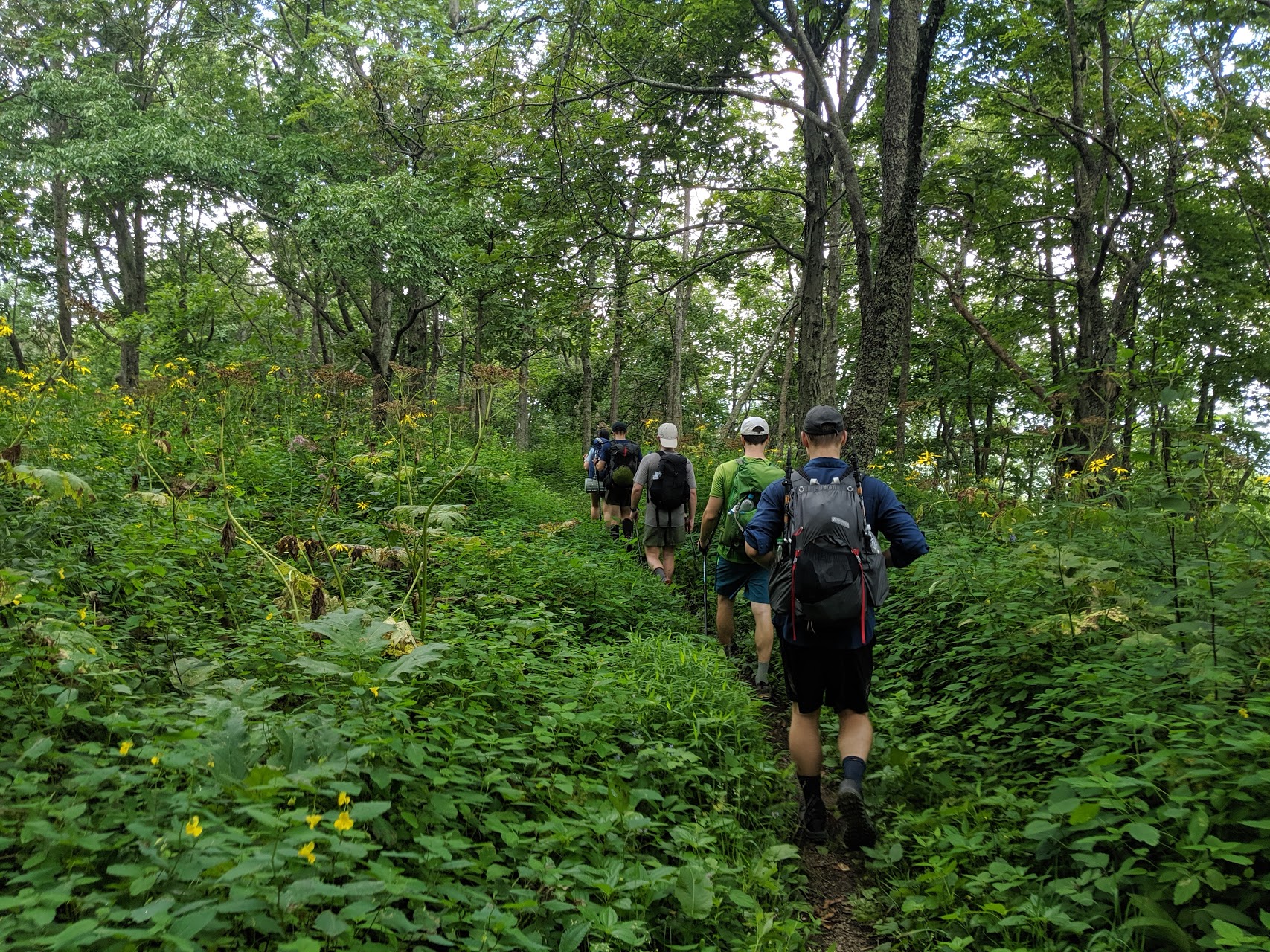
In the morning, we were on the road at 7 AM with 10 of us snugly divided between two cars. Our tire pressure light had come on the night before but it did not appear to be an issue yet so we carried on and parked at US 60. David finished up his leftover Sheetz sandwich from the night before and then we began the long climb up Bald Knob. The climb was never too steep but it had many false peaks. The temperature was a little cooler than usual for August but the high humidity meant that we were still sweating buckets. Eventually, we made it to the real summit of Bald Knob. Lest the name cause confusion, the AT Guide helpfully points out that it is “not actually bald.”
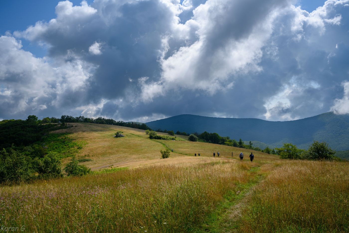
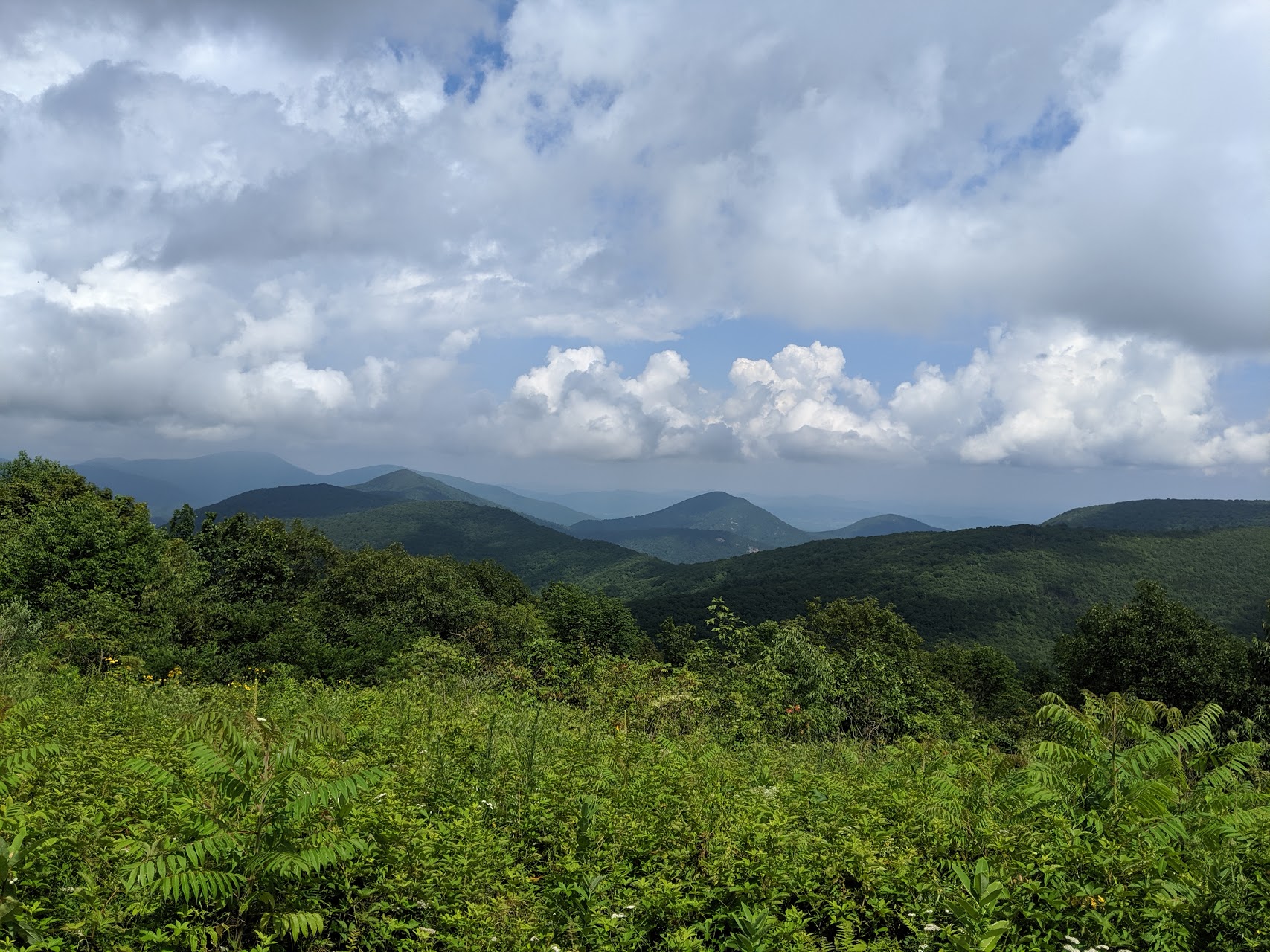
The trail dropped down and then climbed back up to Cole Mountain, which is actually bald and offers nice views. As we rested there we met some hikers from Tennessee, one of whom told us about how Virginia was the ninth state we had camped in so far that year. We regrouped with everyone except David but decided to continue on and wait again at Hog Camp Gap. He caught up with us there. Together, we took the road down to start the Mount Pleasant loop.
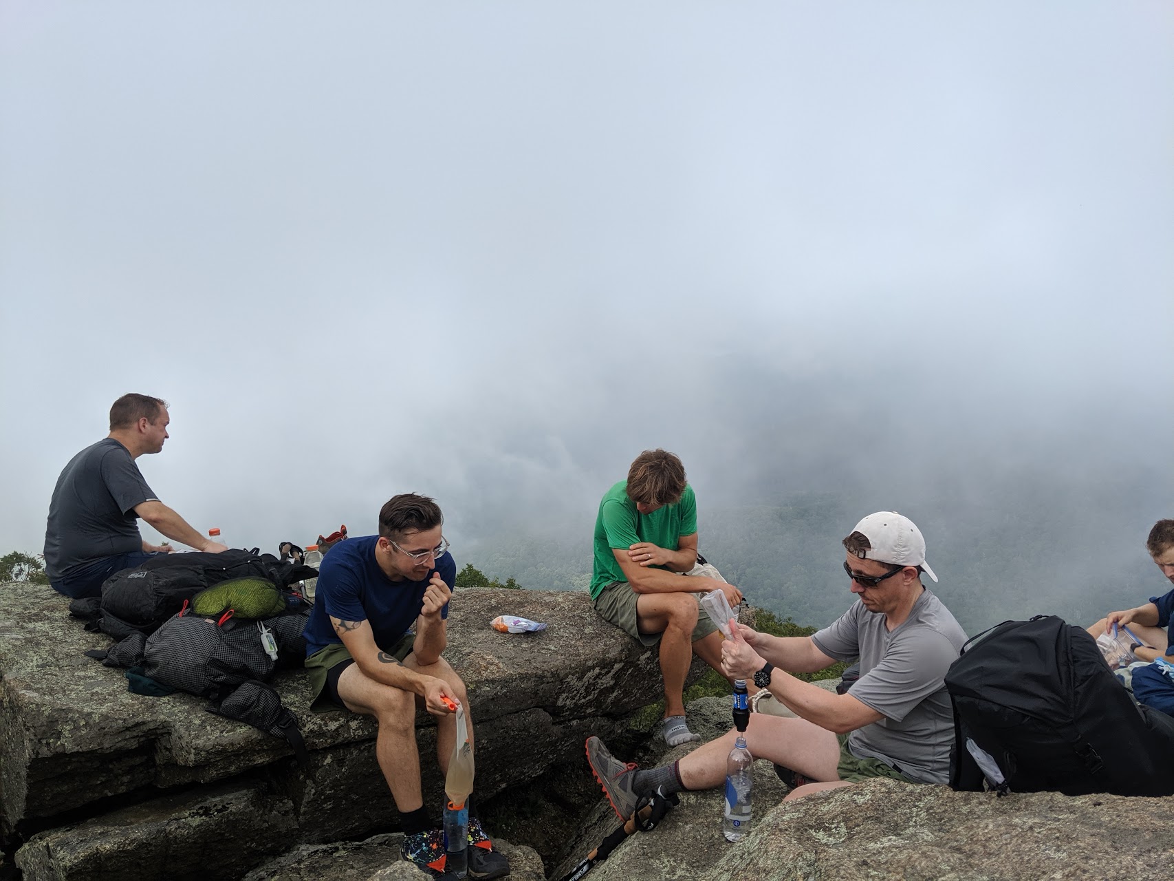
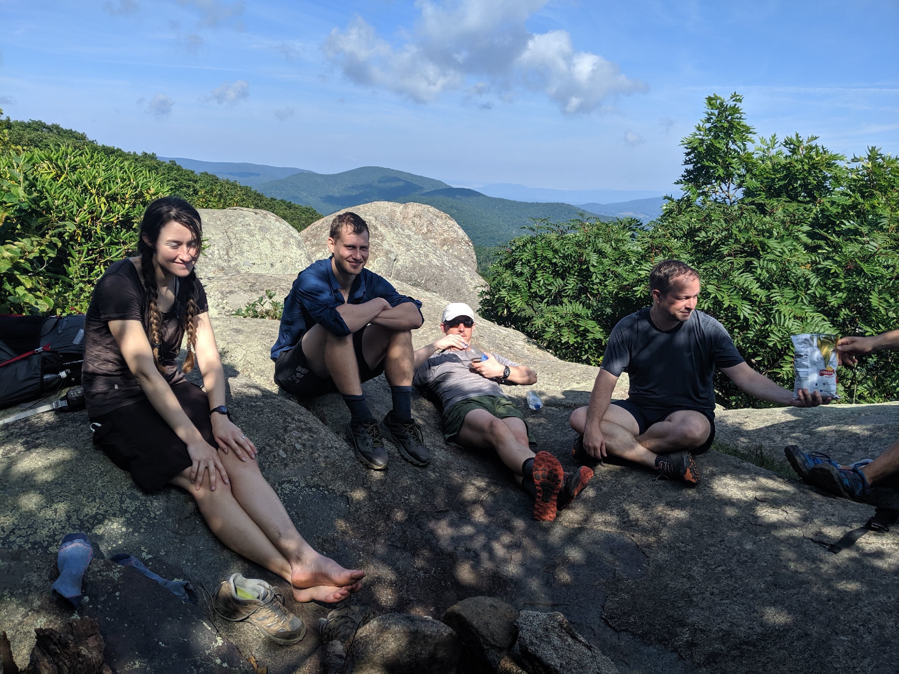
The Mount Pleasant loop trail started out fairly flat. We stopped to fill water at the first little stream we saw not realizing there was a better source not far ahead. Pat did battle with a couple of Sawyer filters and eventually succeeded in treating water. Overall, it was not a bad climb. We saw lots of butterflies along the way. At the top, we had the West Peak all to ourselves. Clouds rolled in shortly after we arrived but they dissipated enough to reveal a view while we ate lunch. Everyone made their guess for what time we would run into the reverse group.
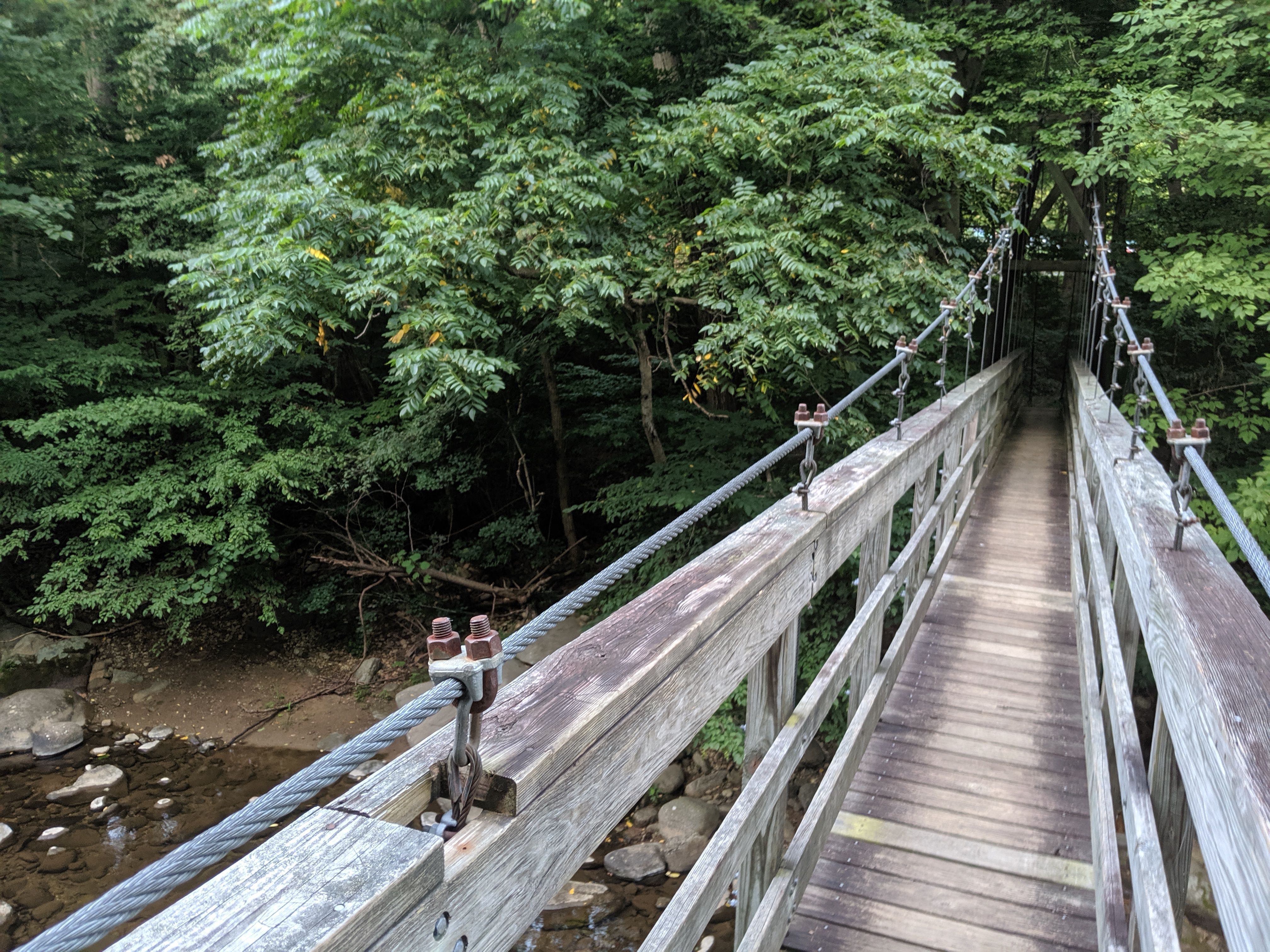
The other half of the Mount Pleasant loop was also nice. It followed the ridge before dropping down to the parking lot. There we ran into Bryan and Trevor from the other group, which gave Karan the win for his guess of 2:14 PM. Just up the road, we came across Cassie and chatted with her for a bit. The three of them had about 2.5 miles left for the day. We had almost 9 so we kicked it into gear as we passed by Tar Jacket Ridge and Salt Log Gap. We were on the lookout for the last member of the reverse group, Jeff, but never saw him. We later learned that all 10 of us must have passed by when he stepped off the trail for water. The group took a short break near Piney River and then hiked the last few miles to Porters Gap, which we had all to ourselves.
There was plenty of space for our 7 tents and two hammocks. A few folks got a fire going. Dizzy shared the six-pack he had carried in and some other people passed around their whiskey. A couple of us made half-hearted attempts to stretch while missing Cassie’s stretching leadership. A 2,500 ft. difference in elevation made for better sleeping weather. Thunder rumbled and lightning flashed as we crawled into our tents for the night but it never rained.
We were on trail at 7 AM the next morning. After a couple miles we veered off the AT to go to Spy Rock. There has been some impressive work going on there. A brand new trail wraps around to take hikers up the backside of Spy Rock- no more scramble! We enjoyed the views and the breeze at the top. At Karan’s direction, we gathered ourselves into the shape of an amorphous “D” for a photo. We gave up on the “C,” “U,” and “L.”
After Spy Rock we had only one more significant climb left to get to the top of the Priest. We regrouped there while taking in the views. Another group of hikers who climbed up the other side of the Priest seemed less impressed with what they got for their labors. The rest of the hike was a relentless descent back to the VA 56 parking lot. After everyone made it, we piled into three cars to meet the reverse group at Lovingston Cafe. They arrived about an hour before us but we chatted while Bryan finished his dessert. Then it was time to shuffle gear and keys so they could take off.
Overall, it was a smooth and easygoing trip. I’m already looking forward to my next hike in this area!

Leave a comment