
Originally, we were planning on doing a 55mi segment of the AT in PA. However, due to a projected 10”+ of snow in PA, we wound up re-planning to do a segment of the AT in VA instead. We used the shoulder parking on Browns fire road just outside Shenandoah National Park (SNP) as the Northern terminus of the hike. This parking lot is outside SNP, so wasn’t going to be affected by the closure of Skyline Drive. For the AT, it corresponds to finishing near Blackrock shelter on the AT, so that was our destination for Saturday night.
We used VA-56 for the southern trailhead. This parking lot can also be used for accessing the Three Ridges area or the Priest. Due to the need to wait until after rush hour to drive around the beltway, it was just a bit after midnight by the time we setup the car shuttle and were on the trail.
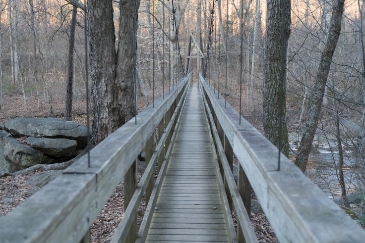
For the late Thursday night, we found some campsites just across the Tye river footbridge, which was very close to where we parked. We got a few hours of sleep and hit the trail at 7:15 the next morning, which 0:45 after sunrise.
Unsurprisingly, we didn’t see many other hikers on Friday. During the entire trip, we saw only a few other backpackers, plus a group of seven at Blackrock shelter. We saw some day hikers on Saturday including two groups of PATC volunteers doing trail work. The trails seemed to be in great shape with a minimal number of blowdowns. In contrast, Steve and I had done a long day hike a week prior and there was a blowdown every 400m or so, so PATC had clearly done a lot of work. One of the trailcrews had a very friendly black lab puppy that would seek out sticks to play fetch with.
Heading North on the AT, we had planned to head 26mi for the day, but wound up camping at sunset after 22mi. Generally, the increased weight of winter gear slowed us down some along with not having recently done high mileage backpacking, so we were only averaging around 2 MPH or so on the trail.
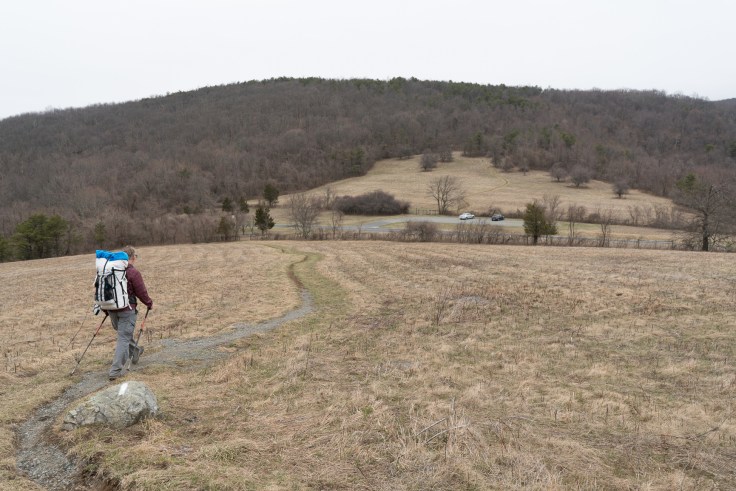
On Saturday, Max found that the popcorn vendor near Rockfish Gap also served hot dogs, so enjoyed a hot dog while waiting for us. Steve and I assumed that it only sold popcorn, so passed it by. Eventually, Max rejoined us when we had stopped for a quick lunch.
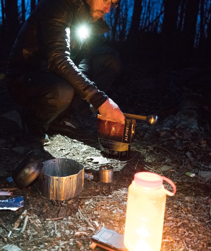
We hiked from sunrise to sundown on Saturday, then stopped on the trail for dinner before continuing to hike by headlamp to get to Blackrock shelter. Stopping on the trail for dinner was a mixed bag. On one side, it let us take a break after hiking 23mi. On the other side, people hit the trail as soon as they started to get cold, so it wasn’t that social of a dinner. It turned out that there was a large group that was already asleep at the shelter when we arrived at 9:40pm, so we probably wouldn’t have eaten at the table by the shelter if we had waited until then.

The valve on Max’s sleeping pad pulled out on him when he was deflating it on Saturday morning. We had talked about his options for insulating himself from the ground on Saturday night, but just sleeping in his car a few miles further down the trail seemed to be his best option. The Blackrock shelter still has a reasonably large rat living in it, so it wasn’t an ideal option. Some of the other groups were setting up tents after initially staying in the shelter due to the rat. As for other equipment failures, Steve’s water filter froze on him despite keeping it in a handwarmer pocket. (Hence he’s going to discard it and buy a new one)
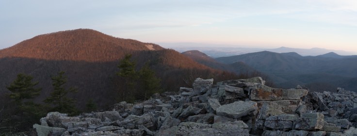
Sunday, Steve and I checked out the sunrise from the summit of Blackrock Mtn. Some trees blocked a direct view of the sun rising, however the light on the other mountains was still nice.
After some coffee, we met at Max’s car at 9am, ate 1,000+ calories each at the Waffle House, then started the drive back. From my place in Maryland, I figure it was around 29 hours on the trail for 11 hours of driving of driving, so met my 2:1 criteria for a good ratio of activity to driving.
Overall, it was another nice outing. At some point, I’ll repost the original 50mi segment of the AT in PA so as to finish off that segment of the AT. And as time and other events permit, some other AT sections that would be fun would be:
- VA: Spy Rock or so to the James River (70mi)
- VA: James River to McAfee Knob (~50mi)
- NJ: Delaware Water Gap to about 10mi shy of NY border (65mi)
To go beyond those areas, the drive gets increasingly long, so one would want to knock out larger and larger sections at a time to keep the ratio of time spent doing the activity to time spent driving. As is, Massanutten is on the horizon and I have some other trips too…
Andrew L (Camel)
Google photo album from my camera for this trip: https://photos.app.goo.gl/IccJiZm24qAznNLm2

Leave a comment