When you start telling people that you want an adventure, you really can’t complain when what you get is, in fact, an adventure, right?
Some time ago, I decided that I wanted to reprise my section hike of the Mid State Trail, that epic footpath across the center of Pennsylvania, which DC UL had done in seven sections, a few years back. Back then, we tried to keep the sections rather short at first, emulating how we had done the Tuscarora Trail. We gave up and started doing longer sections midway through, as the driving just started taking over the weekend. This time, I wanted to start with sections that measured about 100 kilometers (the MST is in metric, remember) and try to do the trail in five sections. I blocked off the weekend for Indigenous Peoples Day and we were set. With B~~~, Janice, Adrian, and Logan, we had doughty group of experienced backpackers.
What could go wrong?
Friday, 10/11, we set off with two cars from Grosvenor and enjoyed convertible weather north of Everett. Janice met us with her truck at PA-164 (you want to use the lower parking lot here). We left mine and Logan’s car there and piled into the truck for the ride back to the Maryland state line. Oh yeah, we set up one of my fabled caches just where the MST comes off the ridgeline north of Everett (the road marked as Civil War trenches). The nice Amish folks at Solid Wood let us park there and we walked out to tag the state line before heading north. A few guys came driving by in their truck, asking us what we were doing … I think, honestly, they figured I had us walking the wrong way, but I can tell my north from my south, thanks.
Friday’s hike was easy through Buchanan State Forest. The trail was in great shape, and we cruised, covering the ground to Beans Cove Road easily. We camped at the water source just north of there. This was tight for the tents, but so it goes. Saturday morning, we struck in the dark and started the long day to Everett, which would be about 35 km (22mi). The remainder through the state forest (including the MST’s highpoint) was beautiful in the cool morning air. We tanked up at PA-326 (we carried a lot of water this trip), and then it got serious. The long ridgeline of Tussey Mountain, south of Everrett, was going to be hard hiking. Somebody even had told me beforehand that we wouldn’t be able to traverse it due to the brambles. Well, it was passable, but it was slow, difficult hiking. It’s a shame because if this stretch of trail saw some more boots, it could easily be one of the best ridge hikes in our area. There are several viewpoints and scrambly bits. Hats off the efforts of the maintainers to keep it open. We five did our best to trample down some brambles and we bled for our efforts.
After what seemed like an eternity, we came off the ridgeline south of I-76. I was alone at that point, and I was happy to pick up some speed on the easier descent and then the stretch along the Juniata River. In the fading light, I sort of lost the trail in the industrial approach to Everett. I waved at a passing patrol car as I circumvented a fence. The policeman waved back.
At 6:45pm, I reached our rally point, which was the Union Hotel. I loved this place years ago, and it’s even better now. It’s amazing the hurts that can be soothed with a few pints. The food was great (I had a burger, but others had some more elegant entrees) and they were quite welcoming of five dirty backpackers. They even let us fill up our water bottles. After dinner, it was Tenley Park for us.
(This was the hardest day of hiking I’ve had since July, I think, when I did Haystack and Basin in the ADKs.)
Sunday, we were on the move early again, walking through Everett, which was all decked out for Halloween and, yes, the election. We had none of the route-finding problems that characterized our section hike last time and, soon enough, we were up on Tussey Mountain again, headed north. Though the hiking was still challenging, there were fewer brambles, and the trail showed more signs of maintenance as we got farther north. It really is a beautiful ridge with pastoral farmland on both sides. After a quick MST-style descent (straight down), we reached our cache.
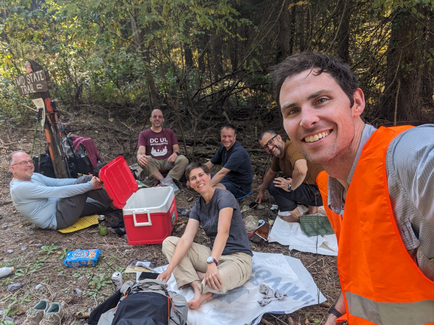
Here, a rare moment of trail magic ensued. We had not seen a single other hiker the entire weekend, but as we drank beer and ate cookies, a fellow came walking south down the trail. A solo backpacker from Ohio, he was finishing his section hike and he was only too happy to drink one of our beers. A small party took place—I hope he joins DC UL.
North we went, quickly reaching PA-36 and the Loysburg Gap, where there were Amish families hiking. The stretch from 36 to Maple Run was challenging. It felt rarely hiked. B~~~ and I were together, and we struggled at points to find the blazes (a rarity on the MST). We joined the others at the run, as we were all wanting water by this point.
During the night, we had wind and rain, and the day dawned colder and blustery. The hike up Maple Run was beautiful and seemed to get better and better. We made great time north of Maple Run Road, with forest road and some gravel—there’s a new road there, not sure what it’s for. We reached the cars at 10:45am, had a truly epic late breakfast at Traditions, an Amish place near Martinsburg. Then, Logan, Adrian, and Janice retraced the shuttle, while B~~~ and I fetched the cooler (three extra km of walking for us as my car was not going up that road). It was all over except for the driving.
So, Gaia tells me that this was 93km of walking with 2,285m of gain, a smidge shorter than I had wanted. Splits were maybe 13 / 35 / 32 / 13 … Certainly a good effort for our first march.
I feel like our only real option, given my schedule for November, would be 11/14-11/17. Any thoughts? U-Turn / MM

Leave a comment